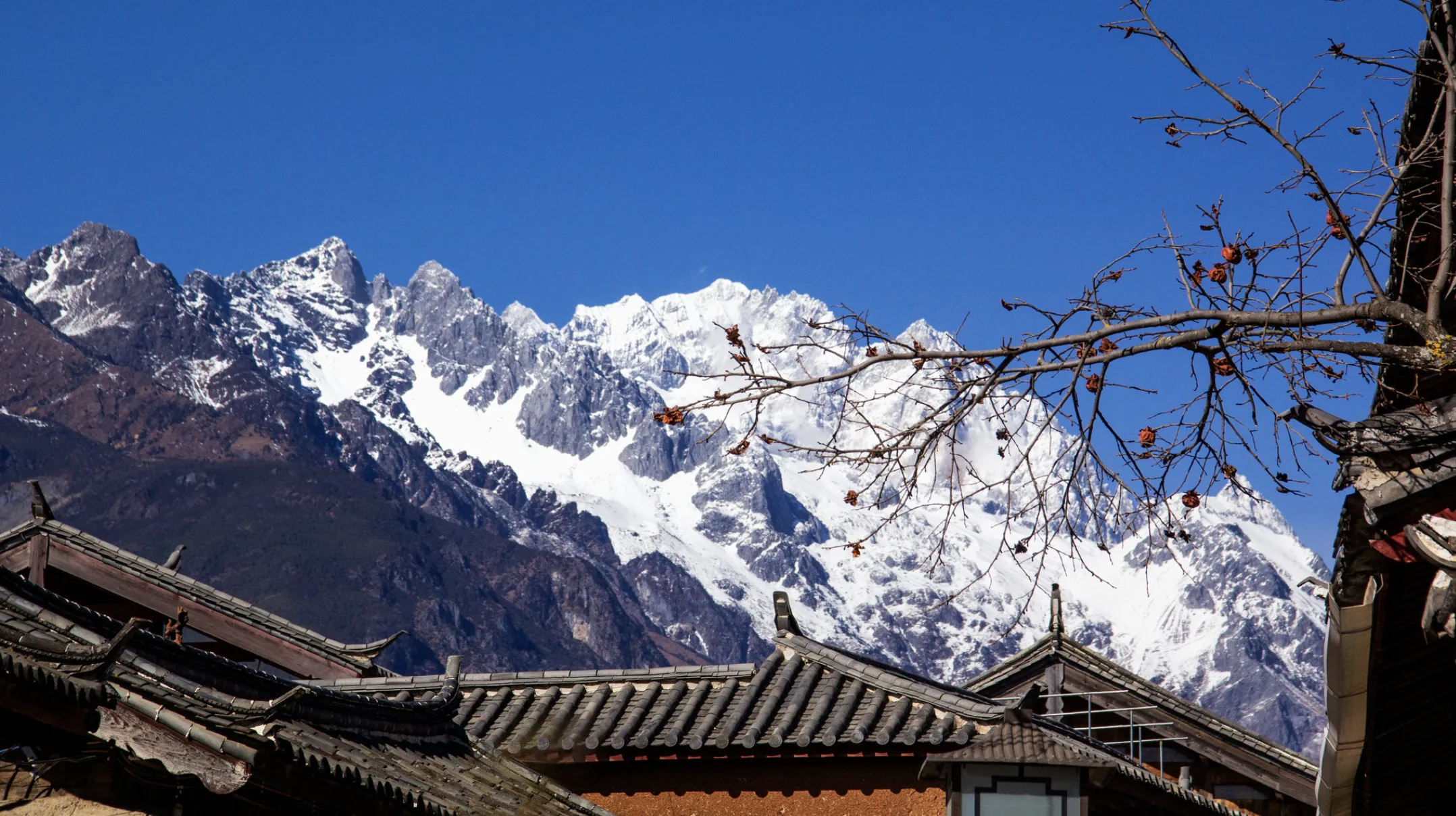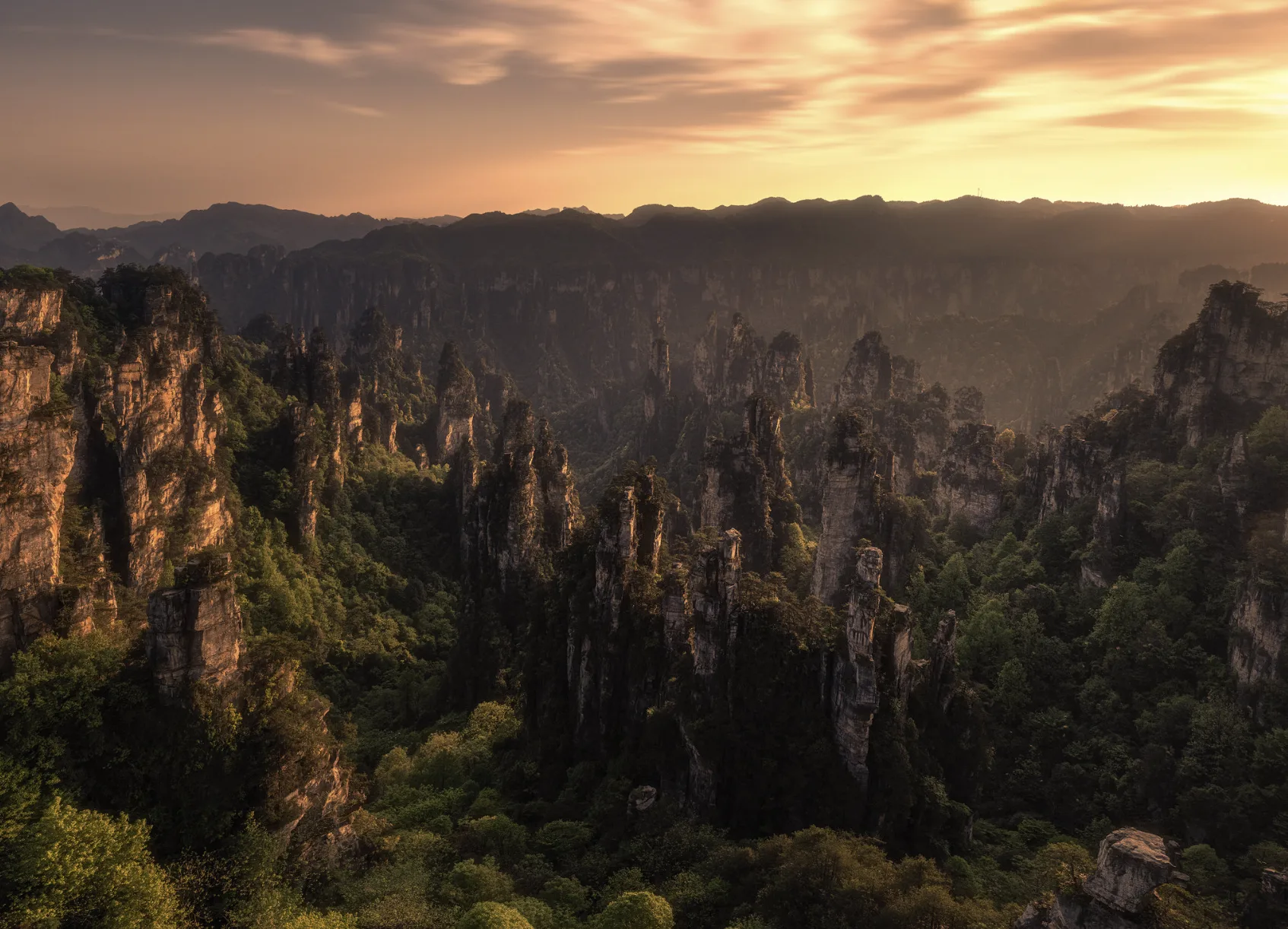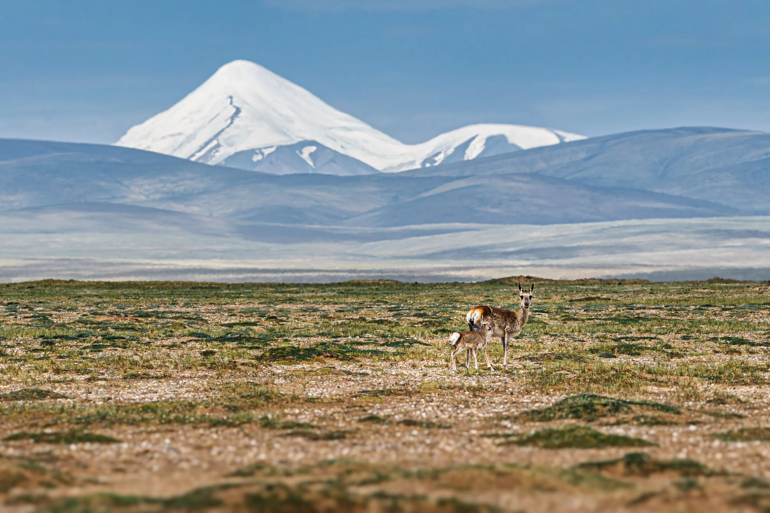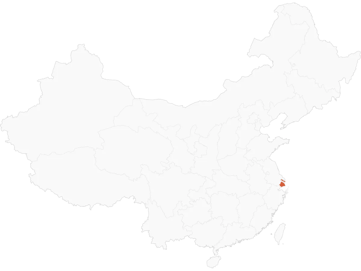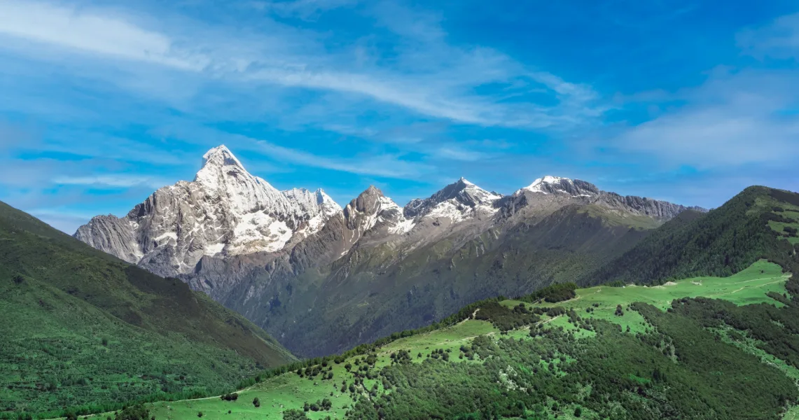
Siguniang Mountain is one of the most accessible places near Chengdu to step into a world of dramatic snow-capped peaks. It lies in Xiaojin County, about 220 km west of the city. Along the way, the basin falls away behind you as forests, deep valleys and snow-capped mountains begin to dominate the view.
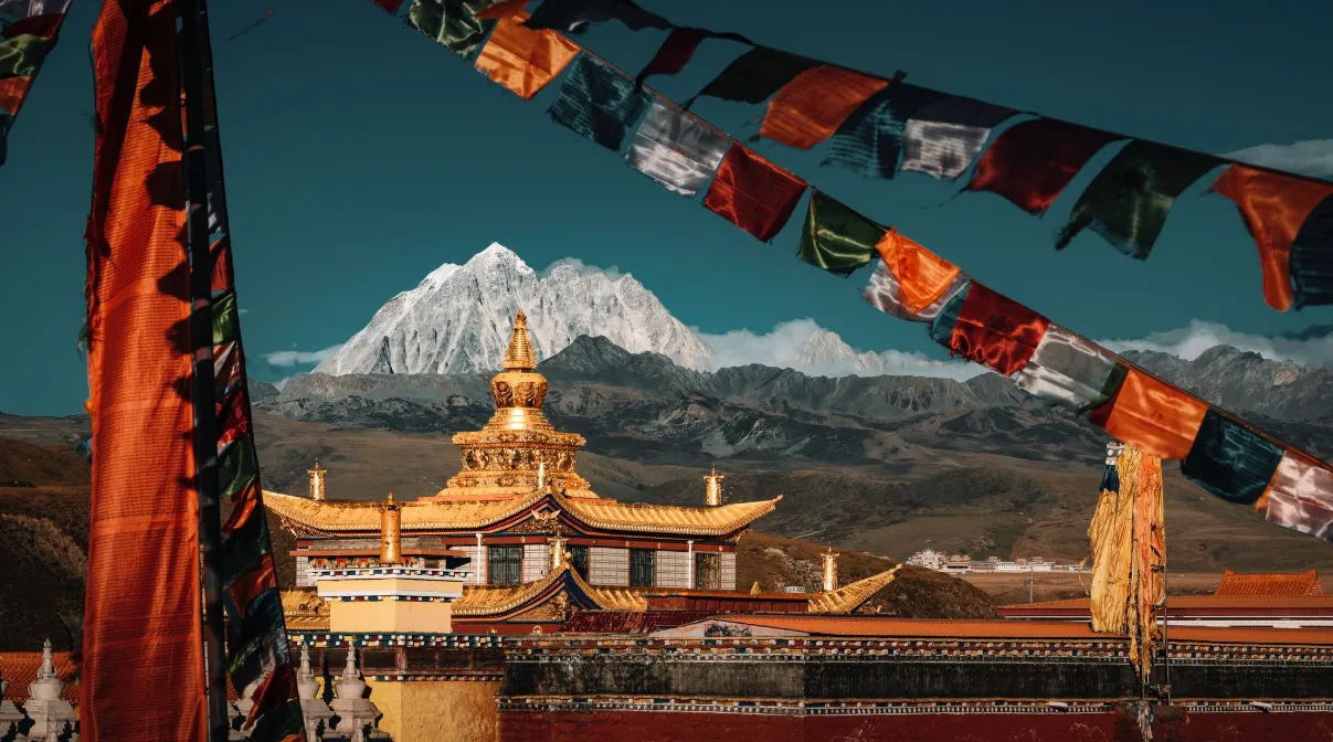
Local Jiarong Tibetans call the mountain Skula and regard it as a guardian of the land and its people. Its four main peaks rise from north to south, culminating in Yaomei Peak at around 6,250 metres. With its sharp pyramidal profile, Yaomei is one of the most distinctive peaks in western Sichuan.
The varied landscapes of Siguniang Mountain offer options for different kinds of travellers. You can explore Shuangqiao Valley at a leisurely pace, taking the sightseeing bus deep into the valley. If you enjoy hiking, Changping Valley offers peaceful forest trails leading to the foot of snow-capped peaks. Travellers with high-altitude trekking experience can complete the traverse from Changping Valley to Bipenggou. For climbers, the area offers a progression of ascents, including Dafeng, Erfeng and Sanfeng, while Yaomei Peak is a highly technical undertaking.
With experience planning trips across western Sichuan, Eastogo can help match a route to your fitness, altitude experience and interests. This guide covers the main ways to explore Siguniang, when to visit and how to plan your trip safely.
Speak to An Expert
Starting Your Jounrney to Siguniang Mountain
Start designing your China journey with our destination experts.
Make An InquirySiguniang Mountain at a Glance: Why Visit?
Four sharp, snow-covered peaks rise at the head of the valley, surrounded by a landscape that unfolds from dense forests and alpine meadows to clear streams, glaciers and turquoise lakes. Located in the Qionglai range of the Hengduan Mountains, Siguniang Mountain has four main summits: Dafeng (around 5,025 metres), Erfeng (5,276 metres), Sanfeng (5,355 metres) and Yaomei Peak (around 6,250 metres).
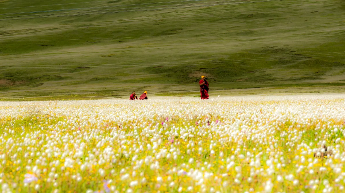
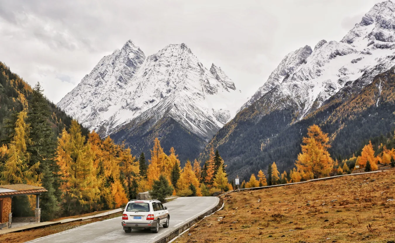
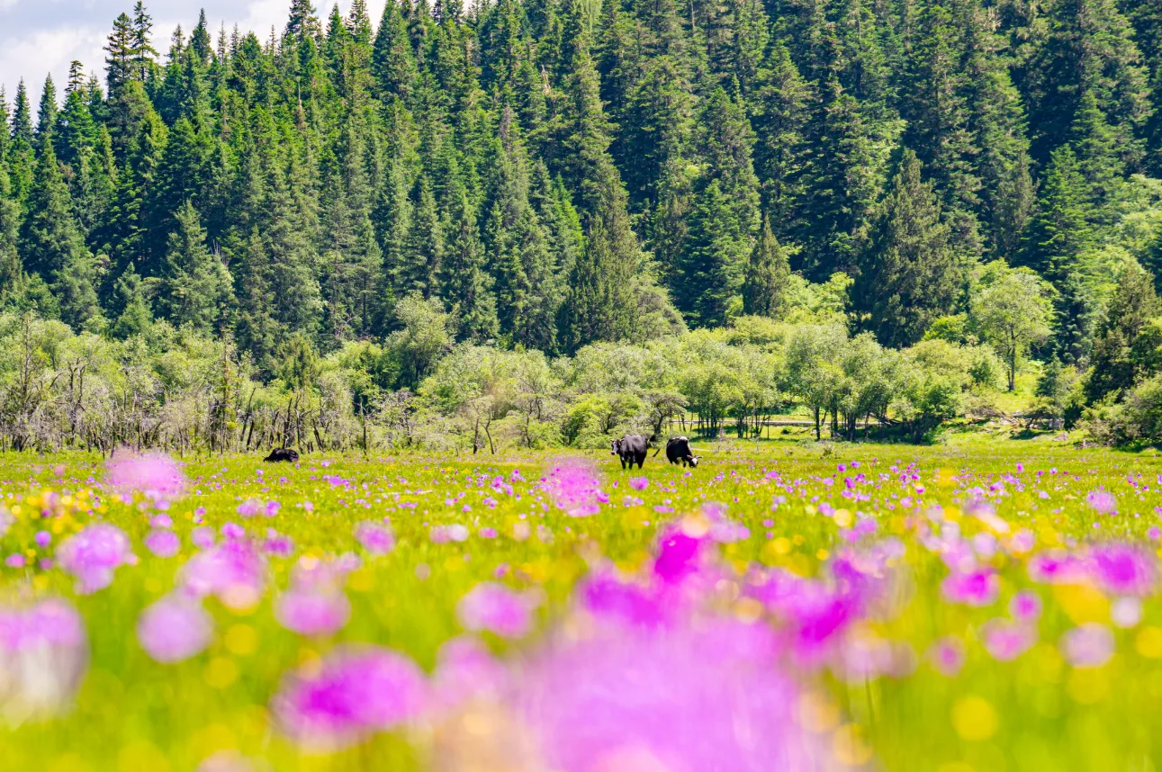
Each season transforms the landscape. In summer, wildflowers spread across the meadows; in autumn, the forests turn gold and deep red; in winter, the snowline descends farther down the mountainsides, transforming the valleys into a world of ice and snow. The appeal of Siguniang lies not just in its distant peaks, but in the chance to walk into the mountains themselves, moving through forests, meadows and river valleys beneath towering snow summits, sometimes all within a single day. The area is also a national nature reserve and part of the Sichuan Giant Panda Sanctuaries UNESCO World Heritage Site.
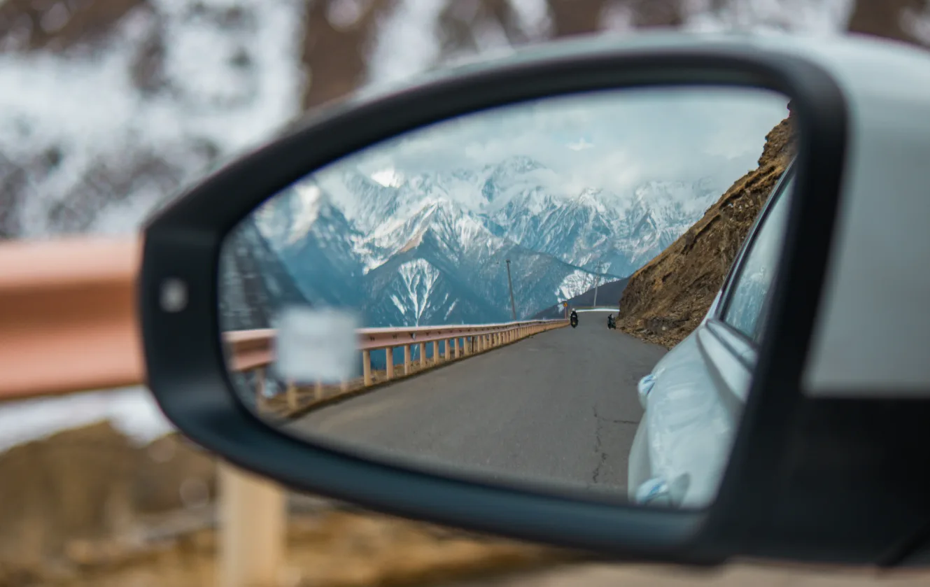
One of Siguniang’s greatest draws is how close it is to Chengdu, yet how completely it feels like another world. Drive west through the Balang Mountain Tunnel, and the landscape opens up dramatically on the other side. Snow-capped peaks stretch across the horizon, filling the view with a scale and grandeur that can stop you in your tracks. In that moment, it is easy to feel why the local Jiarong Tibetans regard Siguniang as a sacred mountain.
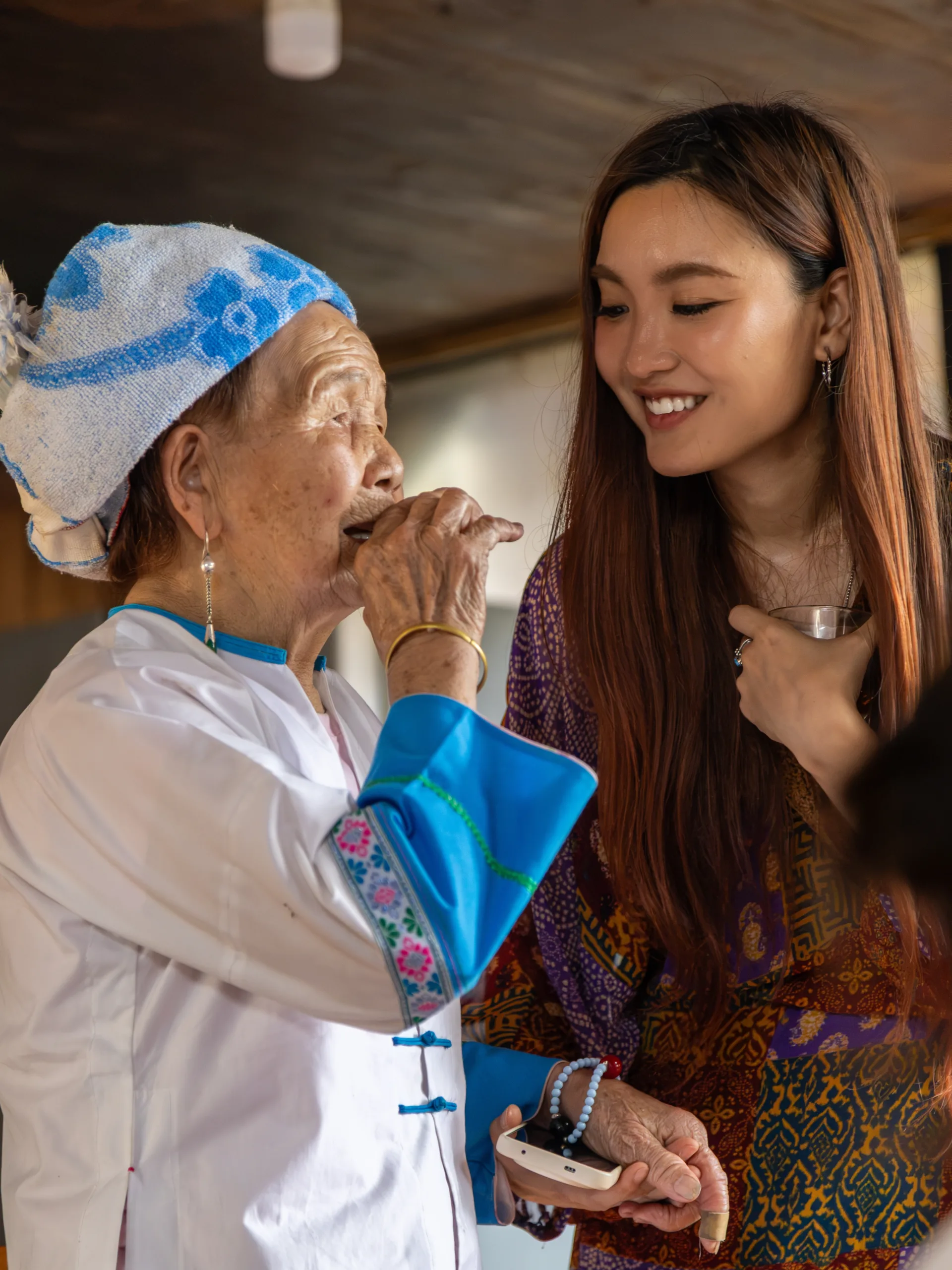
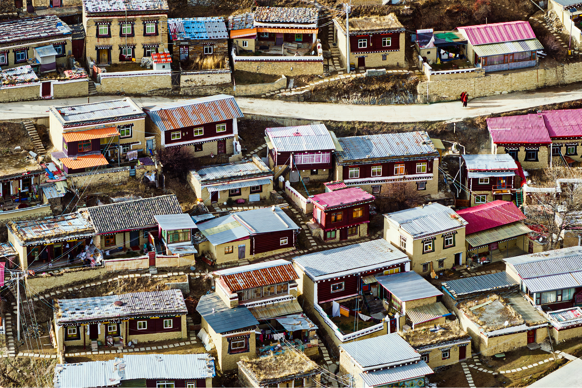
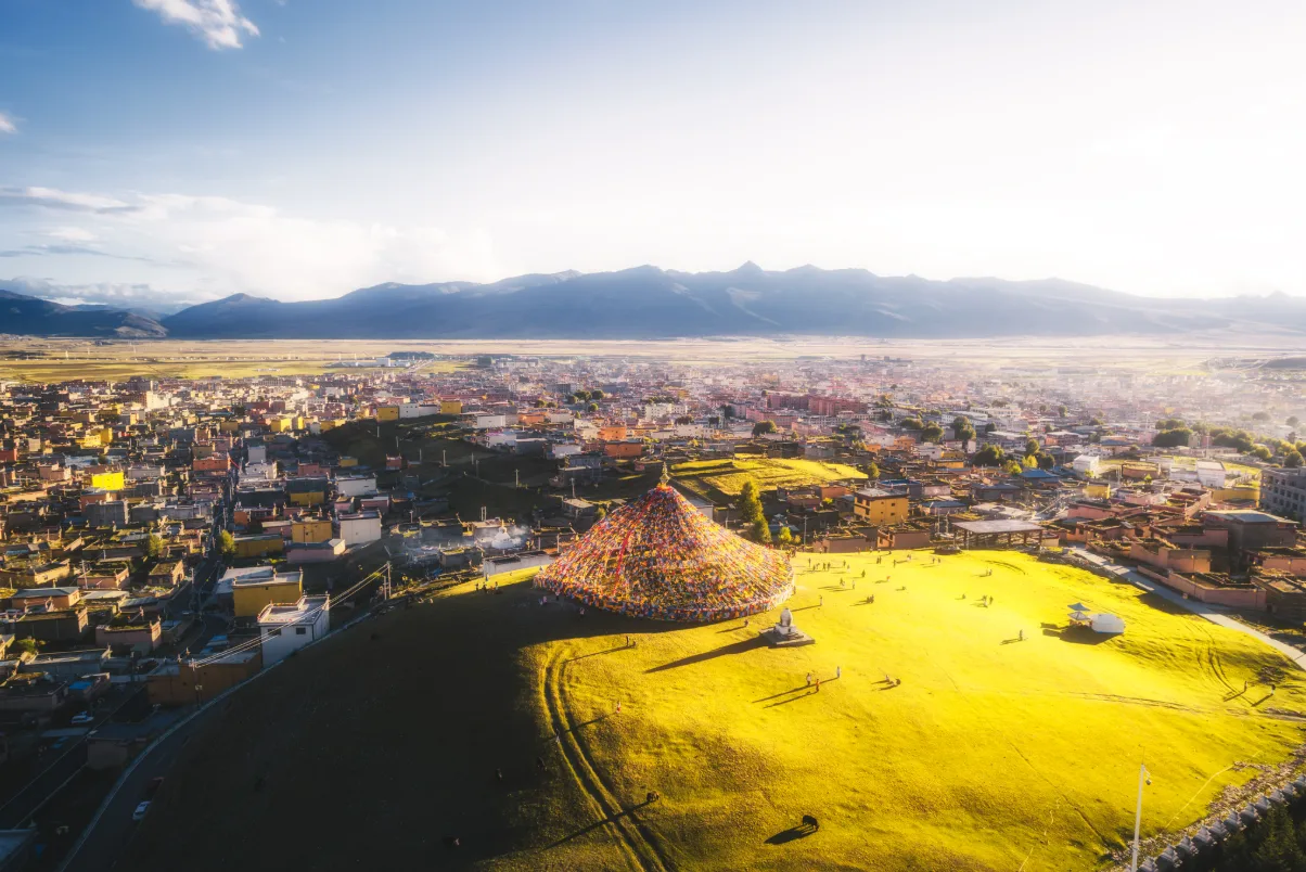
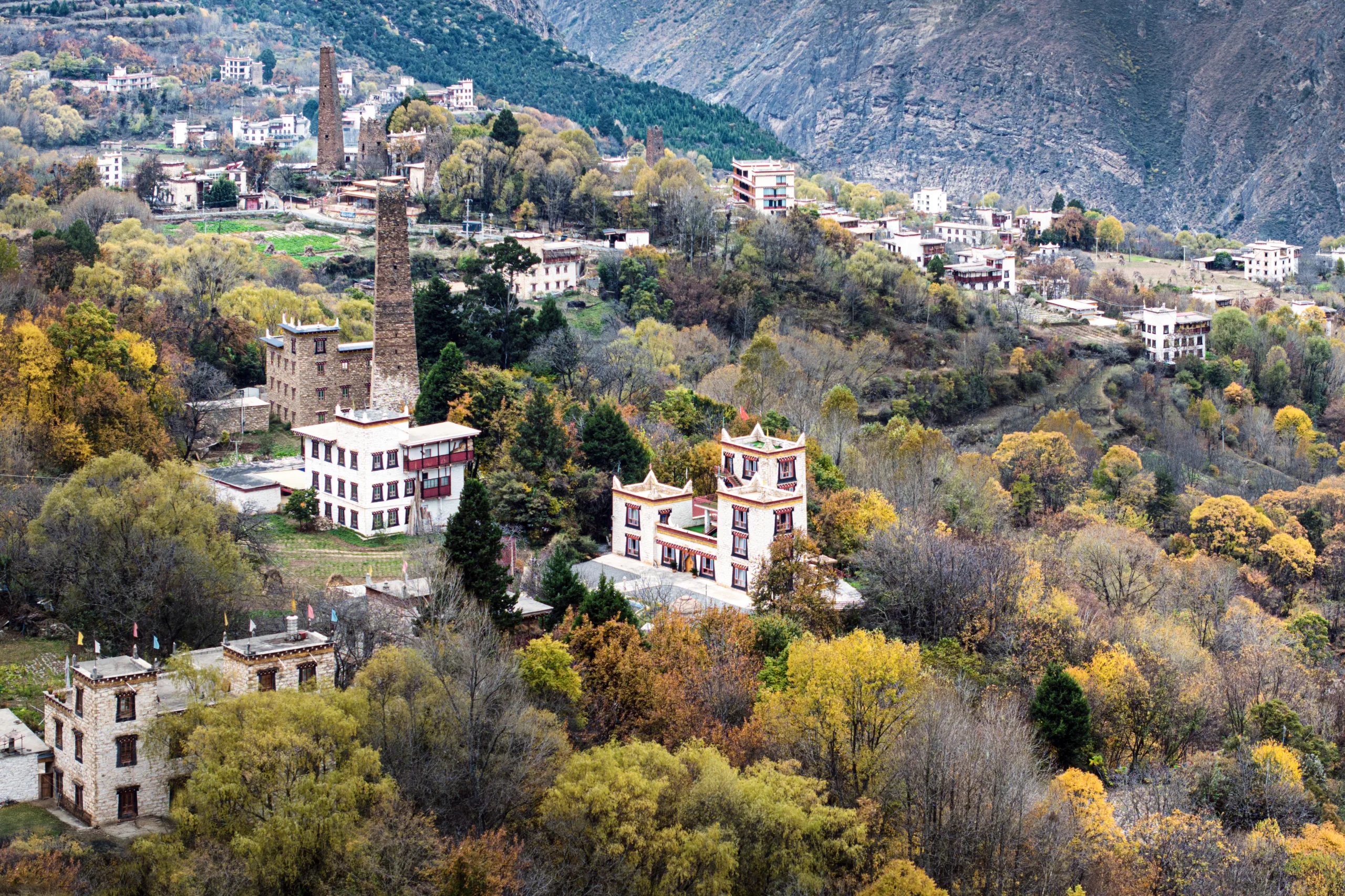
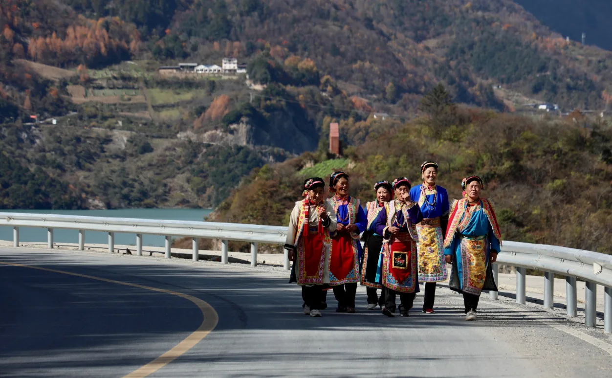
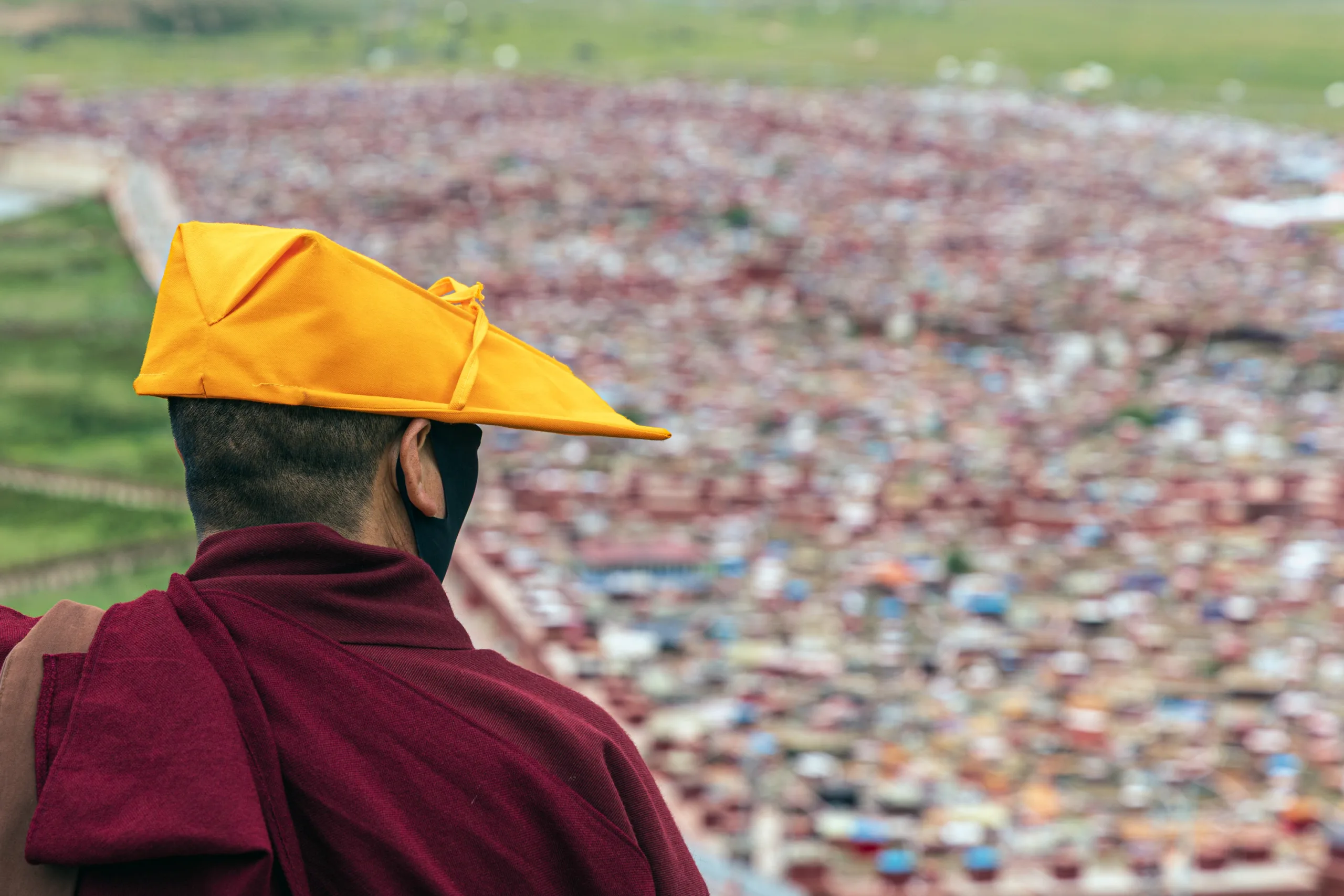
This is the Jiarong Tibetan homeland, and the surrounding town and villages still reflect that heritage. Traditional stone houses, white stupas and prayer flags remain part of the landscape, alongside cultural traditions such as Guozhuang dancing, Tibetan songs, weaving and embroidery. Each year, on the fourth day of the fifth lunar month, local people gather at Chaoshangping in traditional dress to make incense offerings, chant prayers and walk around the sacred mountain to pray for blessings. The celebrations also include Guozhuang dancing and horse racing. Here, the mountains are more than a natural spectacle. They are part of a living spiritual landscape, deeply rooted in the traditions of the people who call this place home.
Siguniang provides several distinct ways to experience the mountains. Each of its three main valleys has its own character. Shuangqiao Valley is the easiest to explore, with sightseeing buses taking visitors deep into the valley. Changping Valley is known for its forest trails beneath the snow peaks, while Haizi Valley is more remote, with a wilder mountain environment. Hikers with high-altitude experience can tackle the classic Changping–Bipenggou traverse, while climbers can take on Dafeng, Erfeng and Sanfeng. Yaomei Peak, by contrast, is a highly technical mountaineering objective. Camping, rock climbing and winter ice climbing are also possible in the area.
The experience at Siguniang is quite different from that at other destinations in western Sichuan. It is much closer to Chengdu than Daocheng Yading, making it easier to include in a western Sichuan itinerary. Compared with the Gongga region, access is more developed, allowing visitors to get close to the snow peaks without travelling deep into remote mountain valleys. Whether you want a relaxed introduction to alpine scenery, a photography-focused trip, a multi-day trek or a serious climbing challenge, Siguniang provides opportunities to explore the mountains at different levels, depending on your interests and experience.
Best Time to Visit Siguniang Mountain
Siguniang Mountain is worth visiting throughout the year, but each season offers a different experience. For most travellers, September and October generally provide the best overall conditions for hiking and photography, while summer brings lush green landscapes and wildflowers, along with less predictable mountain weather.
Spring (April–May)
Spring at Siguniang is special for the contrast between its snow-covered summits and the wildflowers beginning to bloom on the lower slopes. It can feel as though two seasons exist on the same mountain. By mid to late May, rhododendrons begin to bloom, making this a particularly beautiful time to explore Shuangqiao and Changping valleys.
Summer (June–August)
Summer brings the greenest landscapes, with meadows full of wildflowers and forests at their lushest. It is a good season for sightseeing and shorter hikes, though frequent rain and low cloud can obscure the peaks. Heavy downpours can also disrupt travel in the mountains, so keep your plans flexible, especially if hiking.
Autumn (September–October)
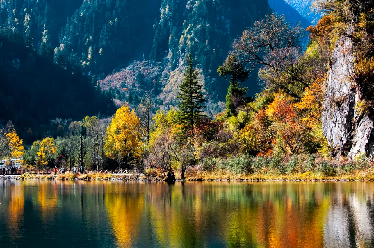
For clear mountain views and more settled weather, autumn is hard to beat. Rainfall eases, the forests turn gold and red, and the snow peaks stand out against clear skies. It is an excellent time for photography, high-altitude trekking and the Changping–Bipenggou traverse. Official hiking guidance also recommends July to October for trekking.
Winter (November–March)
With far fewer visitors and snow reaching lower down the slopes, winter reveals a quieter, snow-covered side of Siguniang. For travellers from Southeast Asia, western Sichuan is also one of the more accessible places to experience snowy mountain scenery. Shuangqiao Valley is a good choice for winter sightseeing, while Siguniang also attracts ice climbers. Snow and icy roads can make driving and hiking more challenging, so check conditions carefully and bring appropriate equipment.
For more advice on when to visit the region, see Best Time to Visit Western Sichuan — Seasonal Guide and Practical Planning.
How to Get to Siguniang Mountain and Rilong Town from Chengdu
Siguniangshan Town, formerly known as Rilong, sits at around 3,200 metres and serves as the main base for visiting Shuangqiao, Changping and Haizi valleys. Guesthouses, restaurants, small supermarkets, outdoor gear shops and other basic services are readily available. Sightseers generally do not need to bring much with them, but multi-day treks and climbing trips require advance arrangements for technical equipment, camping supplies, pack horses and guides.
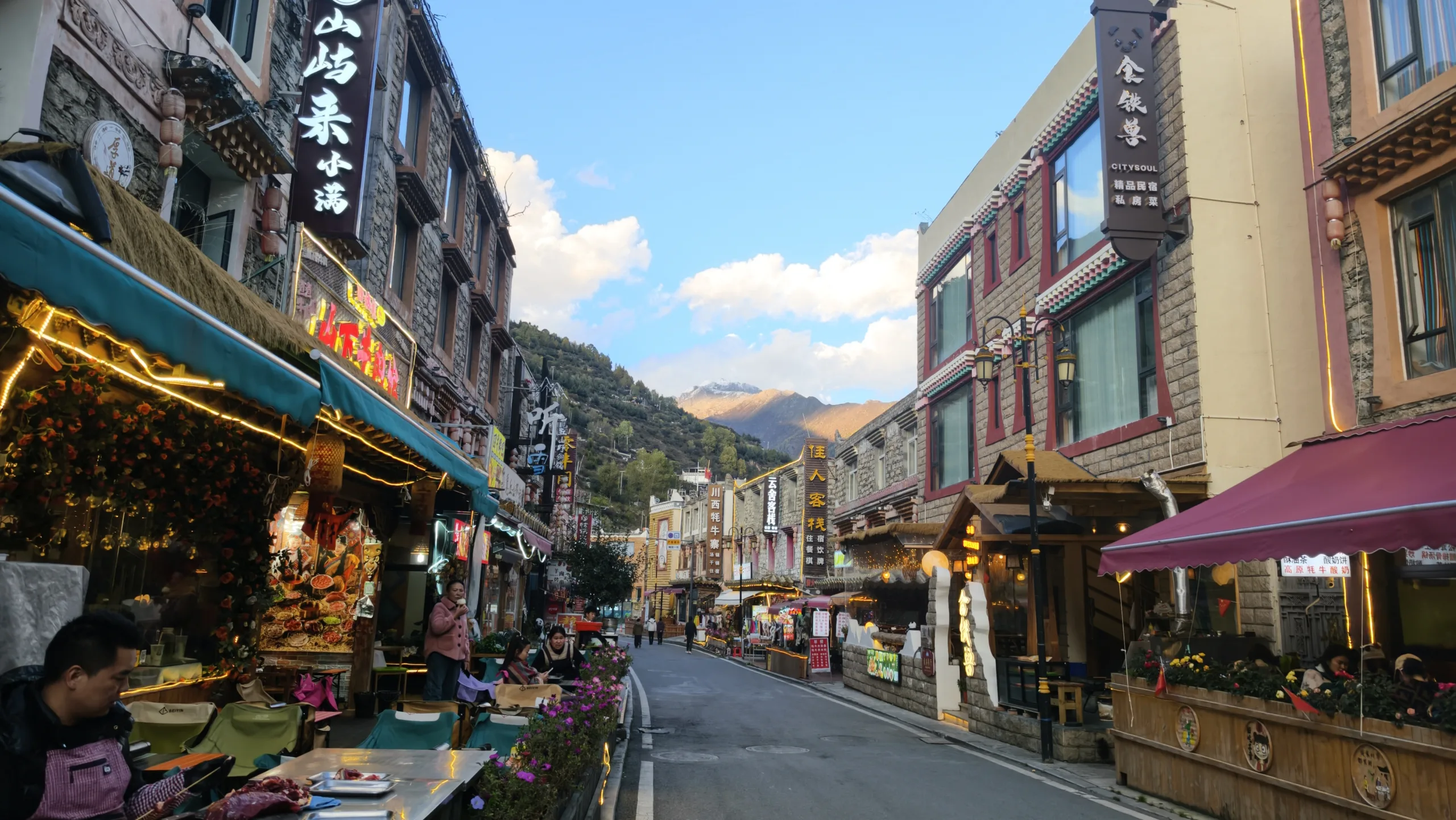
There are no direct trains or flights to Siguniang Mountain, so most visitors travel from Chengdu by road. A private transfer or an organised trip is usually the most convenient option.
Route: Chengdu → Dujiangyan → Yingxiu → Wolong → Balang Mountain area → Siguniangshan Town
The journey covers around 190 km and usually takes 3.5–4.5 hours in normal conditions. Weekend traffic, roadworks and mountain weather can all add time, so avoid planning around the fastest journey time shown on a map.
The official Siguniang Mountain scenic area website currently lists direct buses to Siguniangshan Town from Xinnanmen and Chadianzi bus stations in Chengdu. Chadianzi generally has more daily departures, with tickets costing around RMB 90–130. Public transport works well if you are visiting Siguniang alone and travelling light. However, schedules can change, and buses offer less flexibility if you are carrying climbing gear or continuing to other western Sichuan destinations such as Danba or Tagong.
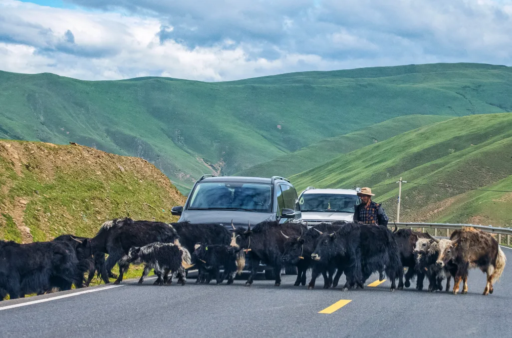
For international visitors, families and small groups, a private vehicle is usually the most convenient choice. Eastogo can arrange experienced local drivers or driver-guides familiar with western Sichuan’s mountain roads. Our team regularly works with international travellers in Siguniang and across the wider plateau, with practical knowledge of road conditions, changing weather, altitude and the needs of overseas visitors.
Beyond getting you to your destination, a local driver or guide can adjust departure times and stops to suit the conditions, and connect Siguniang with places such as Wolong, Danba and Tagong. For first-time visitors to the western Sichuan plateau, this can make the journey considerably easier than navigating transfers and mountain transport independently.
Top Things to Do in Siguniang Mountain
Valleys Overview
Siguniang Mountain, also known as Four Sisters Mountain, has three valleys that offer very different experiences, and they are the main attractions of Siguniang Mountain Scenic Area. If you have only one day, Shuangqiao Valley is the easiest to explore. For a closer experience of the mountains on foot, Changping Valley is the better choice, while Haizi Valley appeals to those seeking a wilder landscape, alpine lakes or a mountaineering route. If time allows, consider spending a full day in each valley.
Shuangqiao Valley
Shuangqiao Valley is an excellent choice for first-time visitors, families travelling with children or older relatives, and anyone who wants to enjoy western Sichuan’s mountain scenery without strenuous hiking. It is the most developed and accessible of the three valleys, making it the easiest for sightseeing and family visits. The valley stretches for more than 40 km, with elevations ranging from around 2,900 to 3,840 metres. Few places pack such a rich variety of landscapes into a single valley: streams and open meadows give way to sea buckthorn groves, conifer forests and alpine lakes, before the scenery rises to peaks above 5,000 metres, exposed rock faces and glacial terrain.
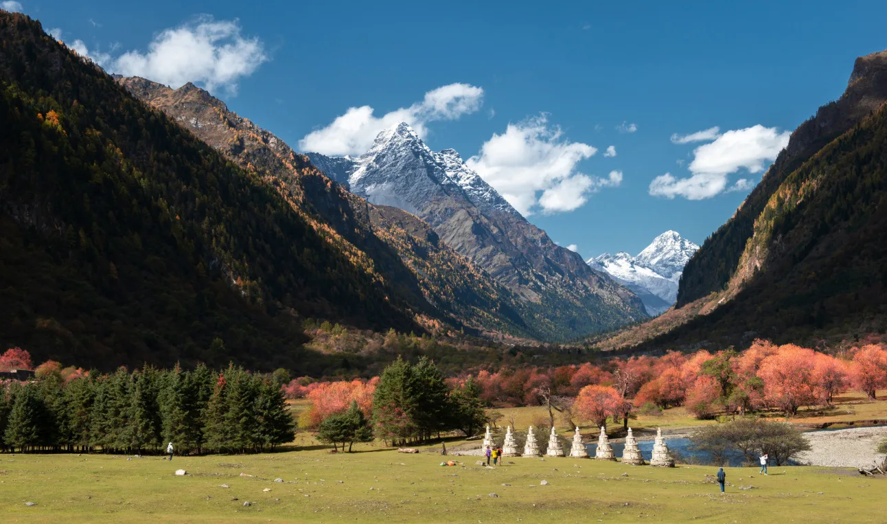
Sightseeing buses run from the entrance to the upper end of the valley, at Red Forest. From there, visitors work their way back down, stopping at designated viewpoints along the route. Several are particularly worth your time:
- Red Forest: At around 3,840 metres, this is the final stop on the sightseeing bus route. Surrounded by mountains on three sides, the forest grows close to the mountain slopes, with mani stone cairns built by visitors scattered among the trees. Some are surprisingly tall and carefully stacked. In autumn, the forest turns golden, making this one of the valley’s signature stops.
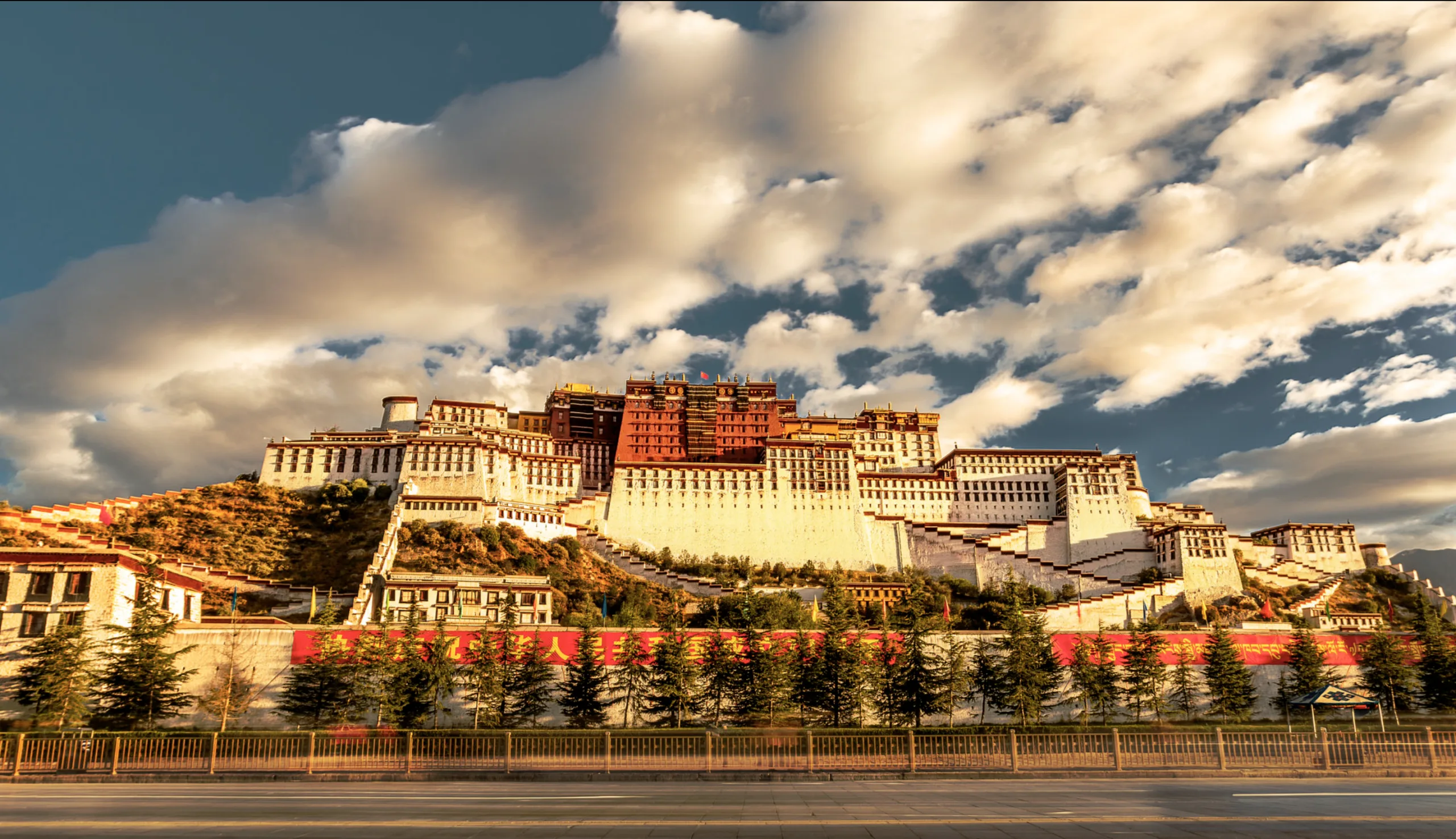
- Potala Peak: Named for its resemblance to the Potala Palace, this stop has broad alpine meadows, a white stupa and prayer wheels. On clear days, the snow peaks, grassland and road come together in a particularly striking composition for photography.
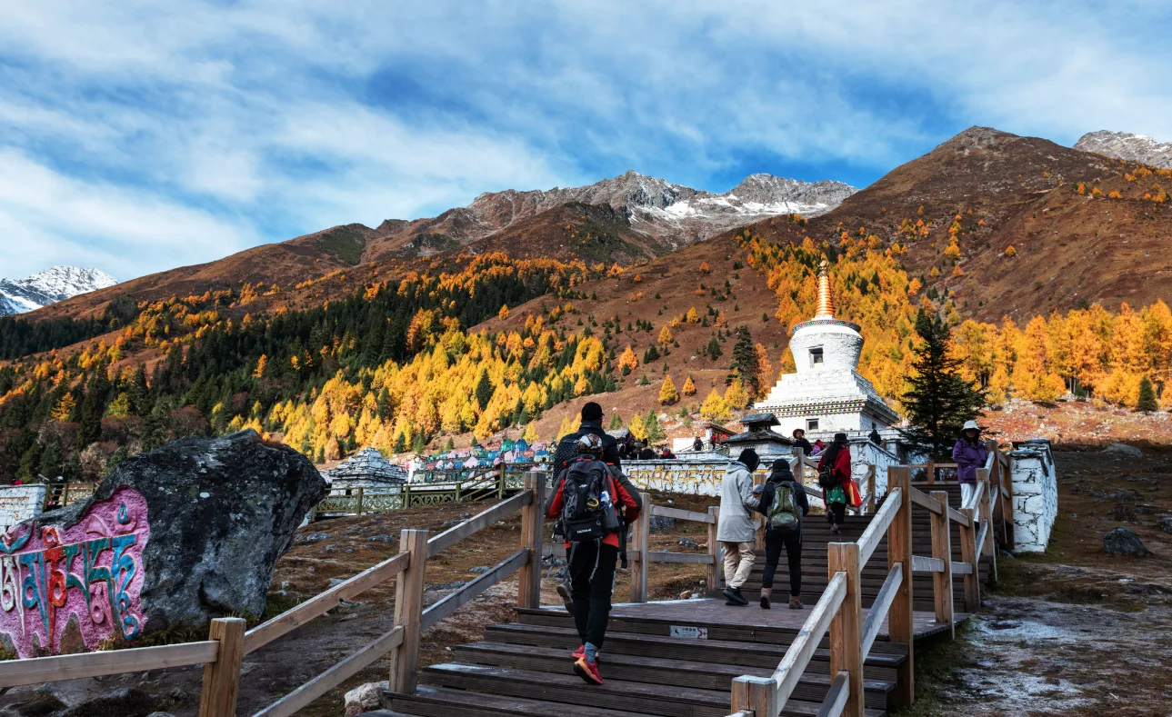
- Sigula Lake: This clear alpine lake changes shades of blue in the sunlight, and on calm days, the surrounding snow peaks are reflected in the water. A circular boardwalk follows the lakeshore, making it an easy place to explore on foot.
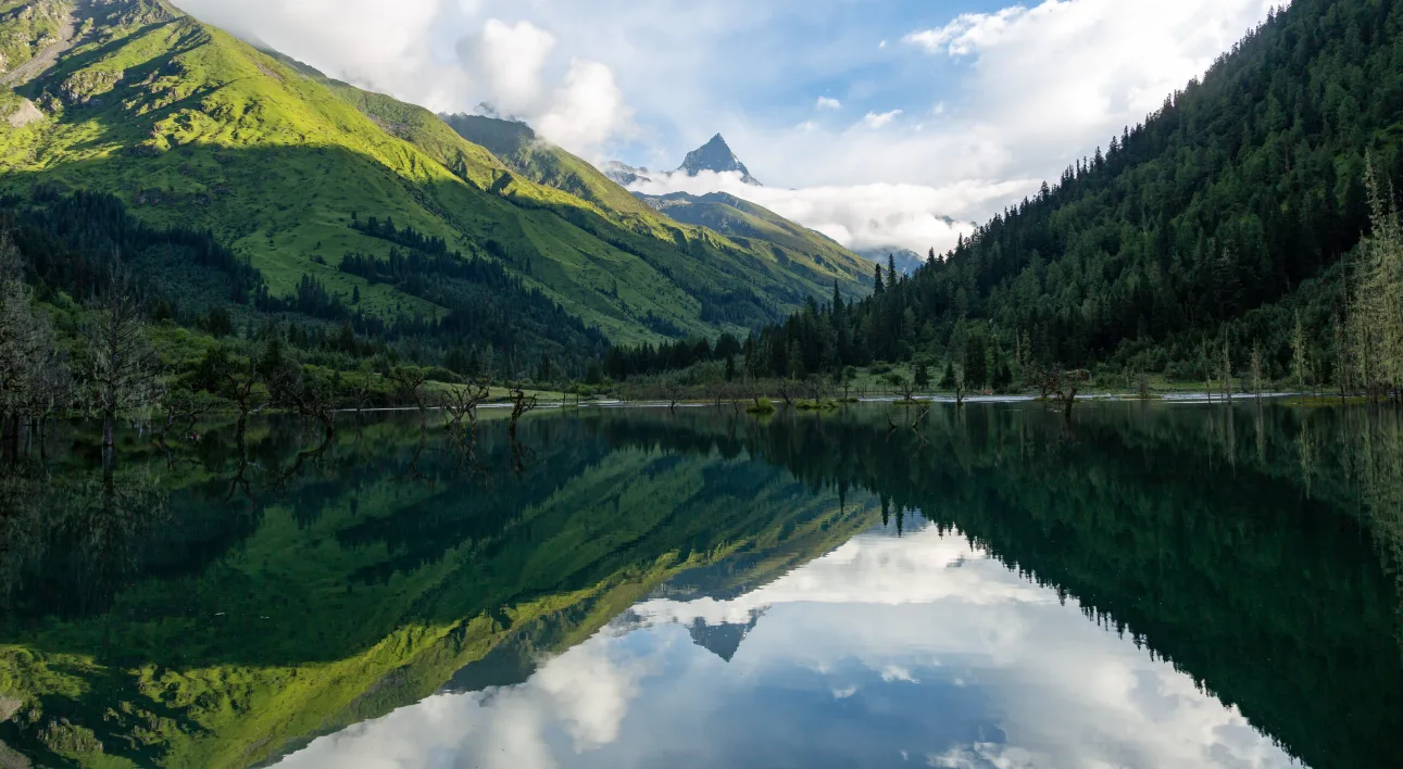
- Nianyu Dam: A wetland meadow dotted with wildflowers in summer, where streams wind through the grass. The valley’s rafting experience is one of my personal highlights. Floating gently along crystal-clear water, with the sky and snow peaks above, is a wonderfully relaxing way to take in the scenery.
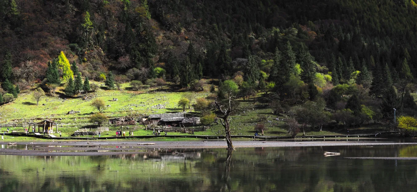
- Longzhu Lake: Dead tree trunks rise from the water, creating unusual shapes against reflections of the surrounding mountains. It is one of the quieter, more natural-looking spots along the route.
- Renshenguo Meadow: A broad, open alpine meadow where streams, yaks, wildflowers and distant snow peaks come together in a softer, gentler mountain landscape.
Shuangqiao Valley is easy to explore at your own pace. Each stop has room to wander, and you can simply take the sightseeing bus between viewpoints if you prefer to save your energy. If you enjoy walking and have the stamina, you can also hike between stops along the connected roads and trails, with plenty to see along the way. Many tourists take the bus up, walk back down between selected stops, or ride it again to save time. Most visitors allow half a day to a full day, depending on how much they want to explore.
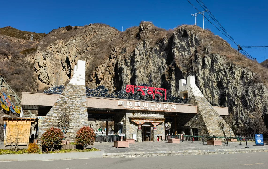
Check the entrance and last bus times before setting out. Entry is usually available between 8:00 am and 3:00 pm, while the last sightseeing buses generally depart around 5:30–6:00 pm, depending on the season and visitor numbers. Arriving early gives you more time to explore without rushing. UV exposure is strong at this altitude, so bring sun protection even on cloudy days.
Changping Valley
Of the three valleys, Changping is the one in the middle, and it brings visitors closest to the heart of Siguniang Mountain. What makes it particularly special is the combination of hiking and horseback riding, which allows the valley to be explored at a more leisurely pace or on a longer trek. Changping is also the starting point for the classic Changping–Bipenggou traverse and an important access route for technical climbs such as Sanfeng. The farther the trail leads into the valley, the more remote the landscape becomes.
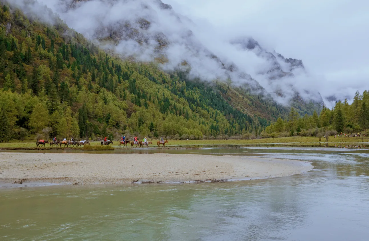
A shuttle bus takes around 10 minutes to reach Lama Temple, where the hiking route begins. The first section follows wooden boardwalks through forest, passing streams and waterfalls, with glimpses of Yaomei Peak along the way. Farther into the valley, the forest gradually gives way to alpine meadows framed by snow-capped peaks and stretches of red stone characteristic of the plateau. The trail eventually reaches Mule Camp, around 12 km from Lama Temple. Approximately 7 km follows wooden boardwalks, with the remaining 5 km on dirt trails that can become muddy after rain. Waterproof hiking shoes with good grip are essential.
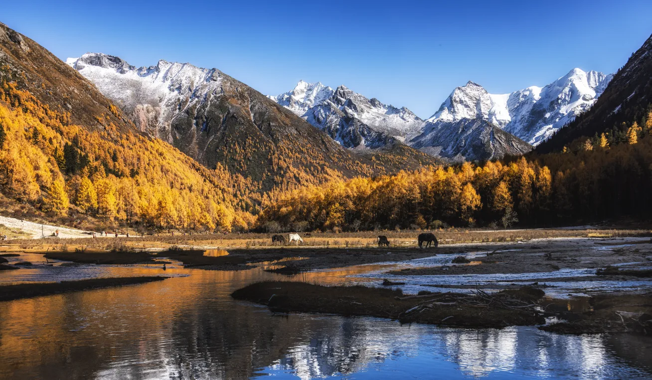
Horseback riding can be combined with walking for those who prefer a less strenuous outing or want to rest tired legs on part of the route. For hikers with the stamina, however, Mule Camp is well worth reaching. The broad meadow is surrounded by towering snow peaks, with mountains such as Camel Peak rising steeply above the grassland. On a clear day, the scale of the surrounding mountains is striking. It is also one of our favourite sections to share with guests. Allow enough time for the return journey to catch the last shuttle bus out of the scenic area.
Haizi Valley
Haizi Valley has the strongest wilderness feel of the three valleys. Its elevation rises from around 3,250 metres to above 4,200 metres, and the traditional climbing routes for Dafeng and Erfeng both begin here. The valley is about 19 kilometres long and is known for its numerous alpine lakes. There are no boardwalks or sightseeing buses, and the trail remains much more rugged and undeveloped. Like Changping Valley, it can be explored on foot or with a combination of hiking and horseback riding, but it is the most demanding and the quietest of the three.
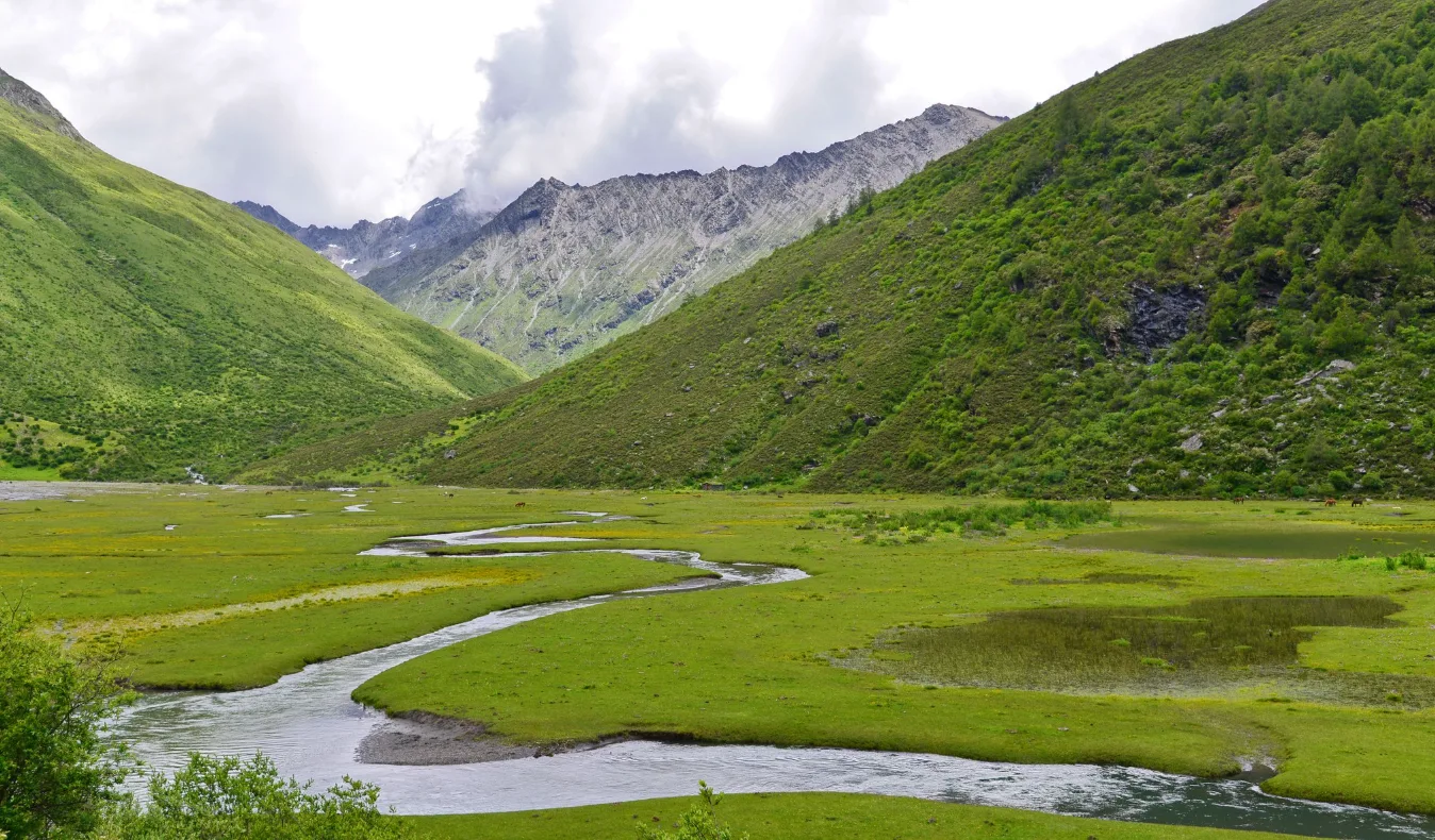
The landscape here is defined more by alpine lakes and open meadows than by dense forest. Yaks graze across the grasslands, and the trail can be followed to Dahaizi Lake for camping, or farther in towards the foot of Yaomei Peak. The valley is also the birthplace of the Zela River. In the first section of the valley, Guozhuangping and Chaoshangping are both excellent places to photograph the four main peaks of Siguniang Mountain. Deeper into the valley, alpine lakes such as Dahaizi Lake, Huahaizi and Xiniuhai begin to appear.
In terms of scenery alone, Haizi Valley is generally less impressive than Shuangqiao Valley or Changping Valley. Unless the goal is to climb Dafeng or Erfeng, or to experience a quieter and more rugged side of Siguniang, most travellers will usually find Shuangqiao and Changping the better choices.
Speak to An Expert
Starting Your Jounrney to Siguniang Mountain
Start designing your China journey with our destination experts.
Make An InquiryHiking and Trekking Around Siguniang Mountain
The Changping–Bipenggou Traverse
This travel guide covers the Changping–Bipenggou traverse, Siguniang Mountain’s best-known multi-day trek, crossing from Changping Valley into Bipenggou in Li County, also known as Bipeng Valley. Covering around 40 km over three days and two nights, the route averages approximately 3,500 metres in elevation and crosses a mountain pass at 4,641 metres. It is often described by hiking enthusiasts as one of China’s ten classic trekking routes.
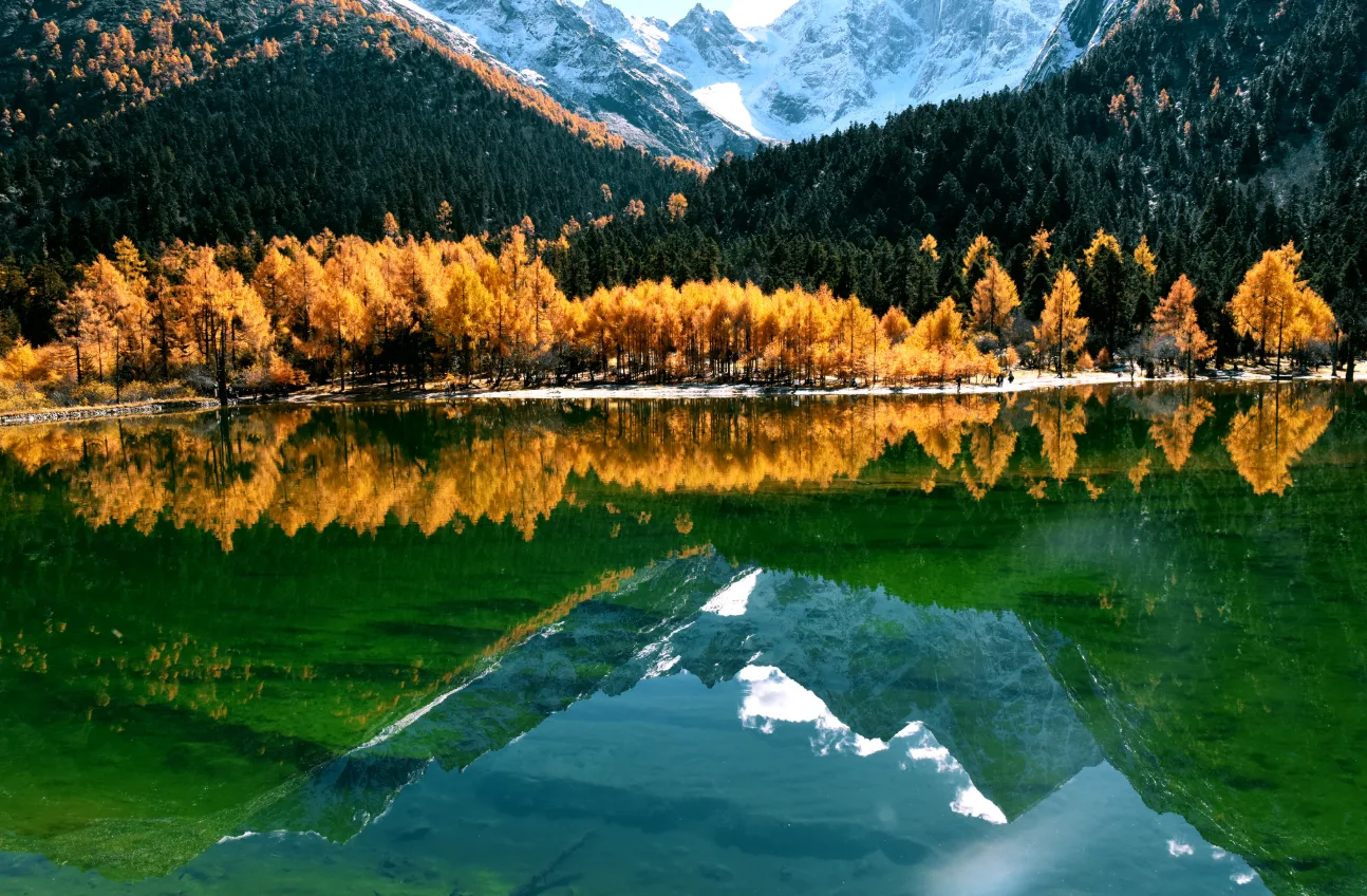
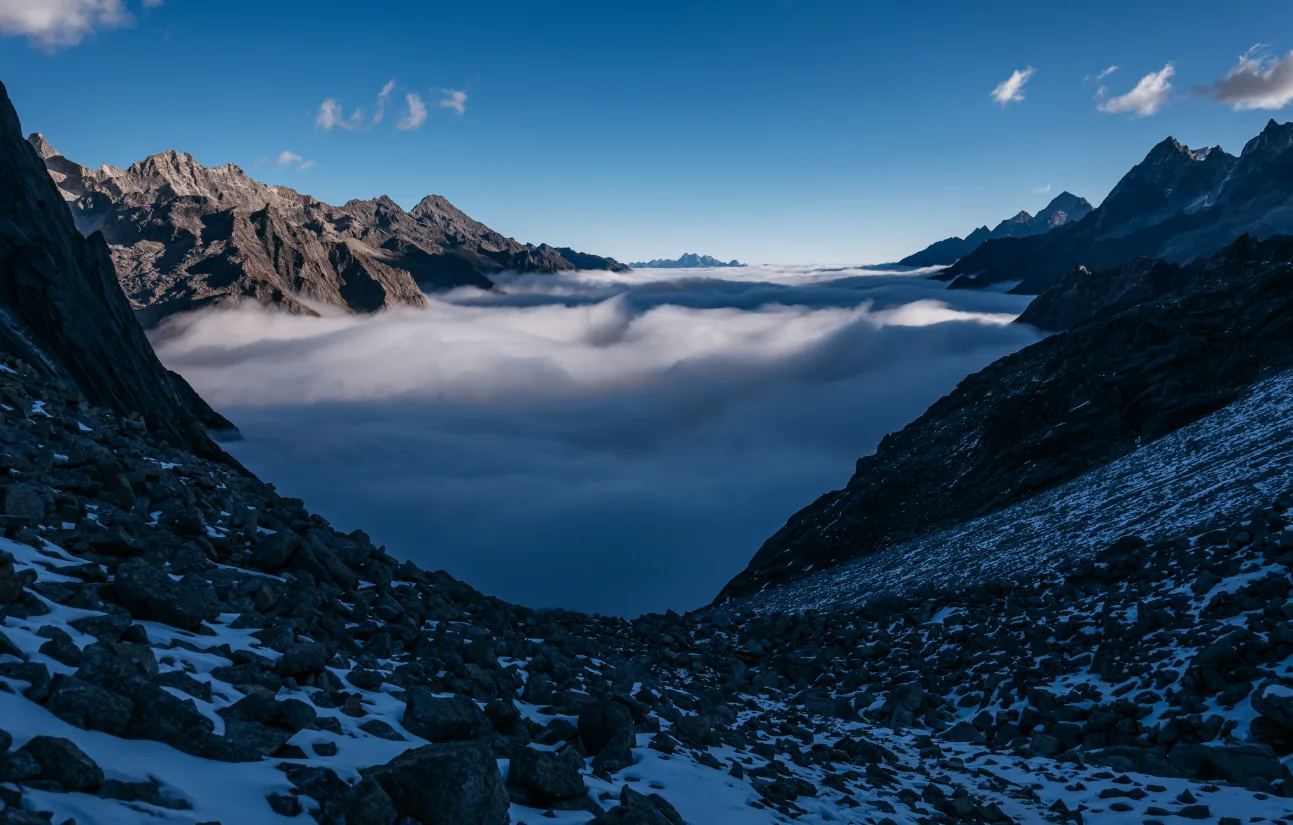
The scenery changes dramatically along the way, shifting from old-growth forest and alpine meadows to river valleys, scree slopes and high mountain passes. The route also brings Yaomei Peak remarkably close, with clear weather offering the chance to see golden sunlight on the summits, seas of clouds, sunrise and star-filled night skies.
A classic three-day itinerary follows this schedule:
- Day 1: Changping Valley Entrance → Mule Camp
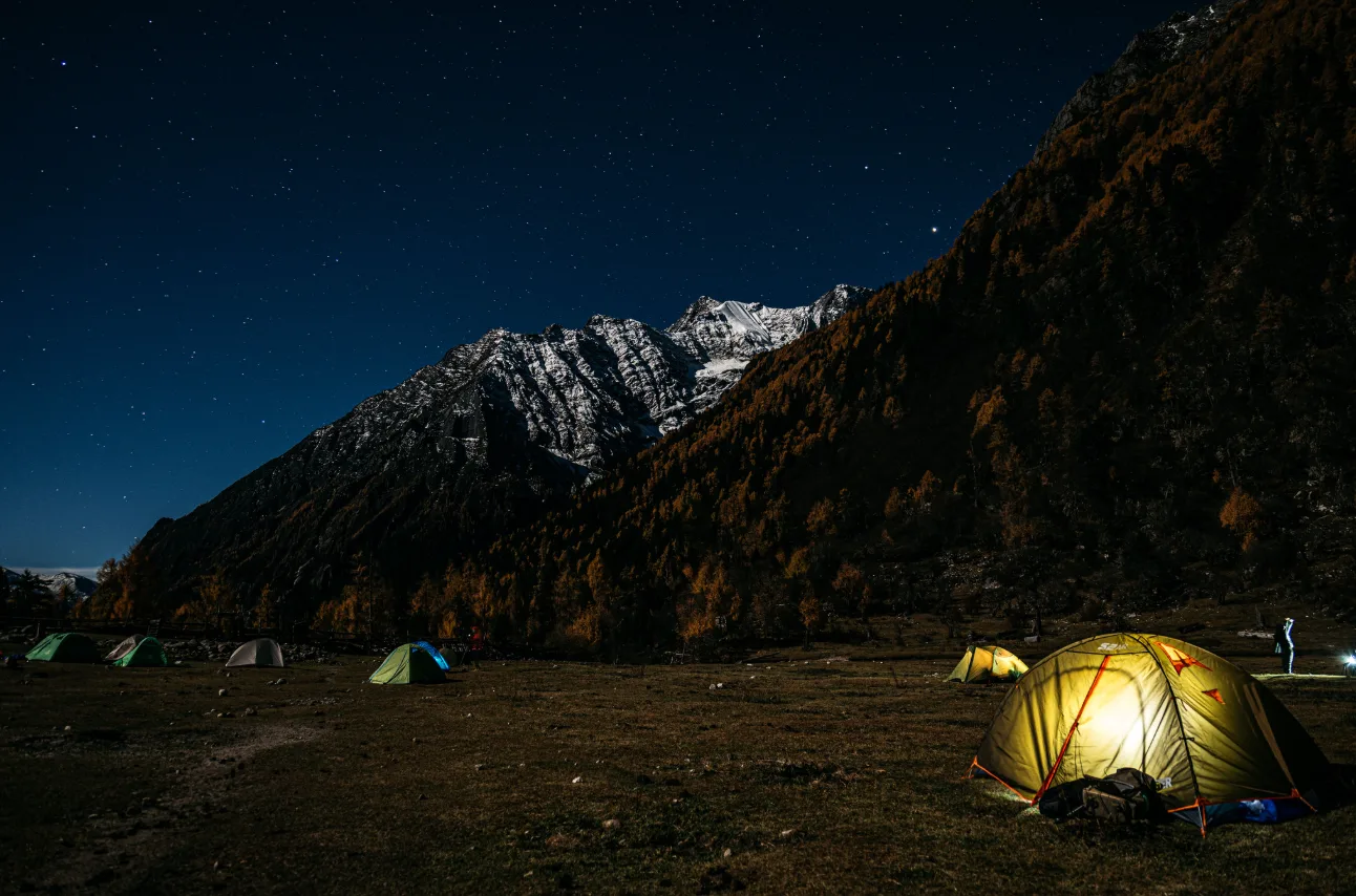
- The route begins on Changping Valley’s wooden boardwalks, with the option of riding horses along sections of the trail. Further in, the path enters old sea buckthorn and fir forests before opening onto alpine meadows. The first night is spent camping at Mule Camp, north of Yaomei Peak. This is a relatively gentle start, covering around 14 km in 5–6 hours, with a few basic resupply points along the way.
- Day 2: Mule Camp → Kazigou End Camp
- The trail continues through a valley beneath the snow peaks, where forests, meadows, riverbanks and mountain scenery gradually replace the busier areas near the entrance. The route is around 11 km and usually takes 4–5 hours. There is no mobile signal or resupply along this section, so food, water and warm clothing for the day must be prepared in advance.
- Day 3: Kazigou End Camp → Mountain Pass → Bipenggou
- Many trekking groups set off before dawn to reach the 4,641-metre pass in time for sunrise. The climb is demanding, but the long descent over loose scree into Bipenggou can be equally exhausting. Snow and ice make the steep, unstable slopes particularly hazardous, increasing the risk of slips and falls. Transport and mobile coverage gradually return as the route reaches the more developed areas of Bipenggou. Allow around 8–9 hours for the approximately 10.7 km journey, and longer if weather or snow conditions are poor.
Best time to trek: June and July are particularly beautiful around Mule Camp and Changping Valley, when alpine meadows are filled with wildflowers. For photography, October brings golden autumn foliage, snow peaks and richly coloured meadows. Official scenic-area guidance also identifies July to October as an important trekking window. However, the traverse is not automatically open throughout these months, so check the current outdoor route notices before departure.
Multi-day trekking and camping require advance registration in accordance with scenic-area regulations. The route should be organised through a qualified professional guide or outdoor team rather than attempted independently with an ordinary scenic-area ticket.
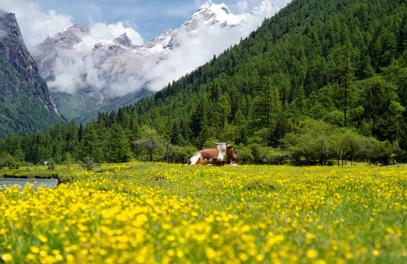
Difficulty and preparation: The Changping–Bipenggou traverse is not a standard scenic-area walk. Three consecutive days of high-altitude hiking and camping, combined with the risks of altitude sickness, rain, snow and rapidly changing conditions at the pass, make it a demanding undertaking. It is best suited to experienced, well-prepared hikers and should only be attempted with a qualified guide.
For those new to multi-day high-altitude trekking, arriving in Siguniangshan Town at least a day early allows time to acclimatise. Travelling with an experienced guide familiar with the route is strongly recommended. Pack horses can also carry tents, food and shared equipment, reducing the weight hikers need to carry themselves.
Other Hiking Routes
- Haizi Valley → Guozhuangping / Chaoshangping | Easy day hike: A hike from the valley entrance leads to open alpine meadows with panoramic views of all four main peaks. It is an excellent option for photography and snow-mountain scenery without committing to a long trek. Haizi Valley is a high-altitude hiking area with a more natural, undeveloped character, and beyond the scenic-area walks there are also more wild trails with no sightseeing buses.
- Haizi Valley → Dahaizi / Huahaizi | 1–2 days with camping: Farther into Haizi Valley, the open meadows give way to a landscape of alpine lakes. Dahaizi and Huahaizi are around 4–5 hours on foot from the entrance, with traditional camping areas nearby. Compared with Changping Valley, the scenery feels more expansive and remote. There are no resupply points along the route, so food, water and camping equipment must be carried in advance.
Mountaineering: Climbing Dafeng and the Four Peaks
Siguniang Mountain is a popular mountaineering destination, with its four main peaks offering a clear progression in difficulty, from introductory high-altitude climbs to demanding technical mountaineering.
Dafeng Summit (5,025 m)
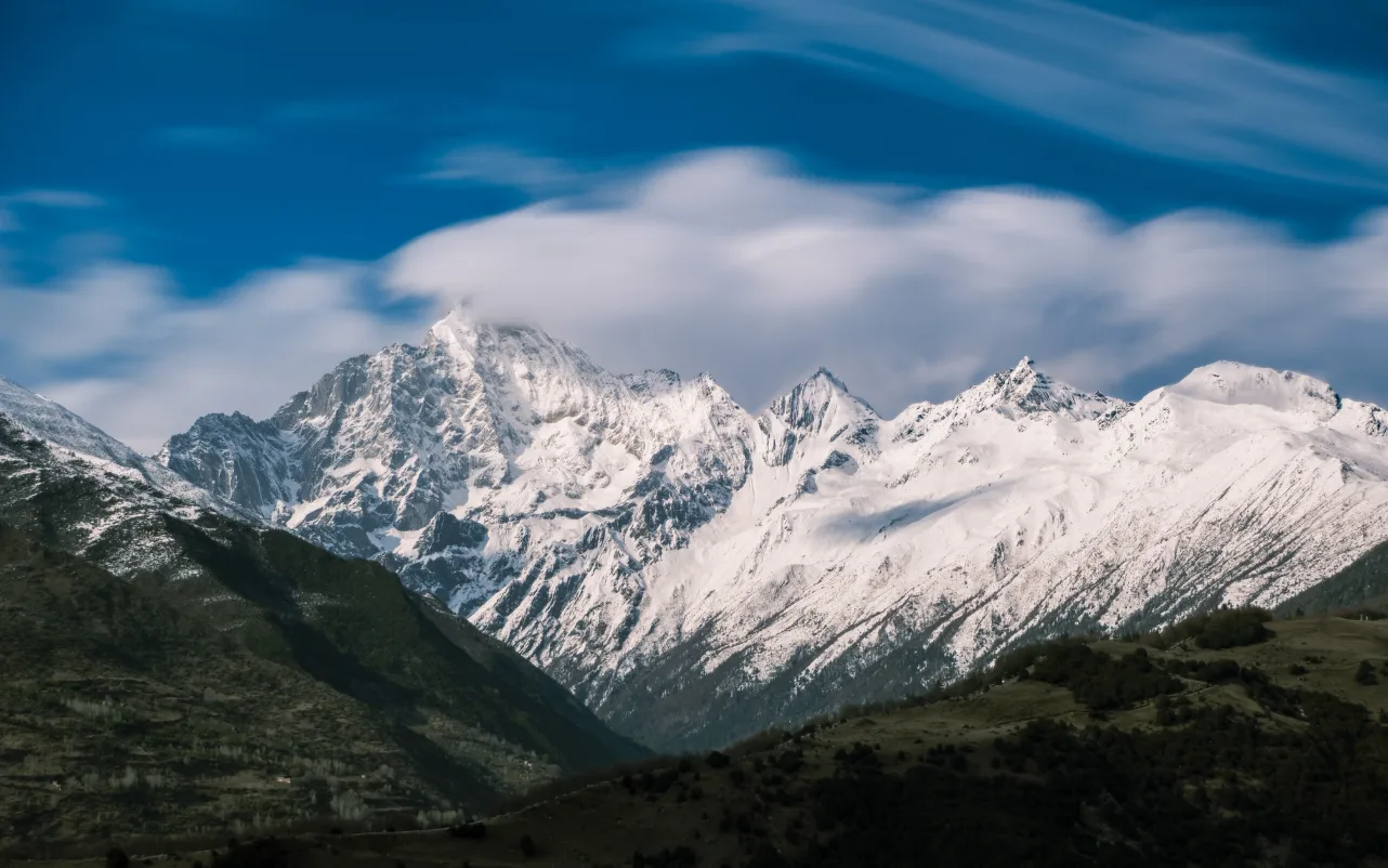
Dafeng is the lowest of the four main peaks and has the most established climbing route. It is often the first 5,000-metre summit for Chinese climbers, and is officially classified as an entry-level peak. It is also the easiest of Siguniang’s four main peaks.
The usual itinerary takes two days. On day one, the approach from Siguniangshan Town through Haizi Valley takes around six hours to reach Dafeng Base Camp, where climbers spend the night camping. Basic facilities are available, but sleeping bags, sleeping mats and warm clothing must be brought along. Pack horses can carry equipment to camp. The summit attempt begins in the early hours of day two, taking around 4–6 hours before the descent back to town.
Although Dafeng is considered an introductory climb, it is far more demanding than an ordinary hike. Above 5,000 metres, low temperatures, strong winds, reduced physical performance and altitude sickness all become significant challenges. Those without previous high-altitude experience should allow at least a day for acclimatisation and an easier preparatory hike. While the formalities for climbing Dafeng are relatively straightforward, hiring an experienced local guide is recommended for their knowledge of the route and mountain weather.
Erfeng (5,276 m)
Erfeng is another established introductory high-altitude climb, but its greater elevation, longer summit push and higher physical demands make it a step up from Dafeng. The upper section includes scree and snow slopes, where crampons and trekking poles are needed.
The usual itinerary involves a roughly 16 km hike to Erfeng Base Camp on day one, followed by the summit attempt and descent on day two. Erfeng is a better choice for those who have already completed long-distance trekking at altitude and want to move from hiking-oriented mountain routes towards a more demanding climbing experience.
Sanfeng (5,355 m)
Sanfeng marks a clear step into technical mountaineering. The climb requires ropes and specialist equipment, along with experience in roped climbing, rock-climbing techniques and basic mountaineering procedures. The summit ridge is narrow and exposed, adding a psychological challenge to the physical demands.
Sanfeng is not suitable as a first mountain climb. It is better suited to climbers who have experience on Dafeng, Erfeng or other high-altitude peaks and have received basic technical training.
Yaomei Peak (around 6,250 m)
Yaomei Peak, also known as Yaomei Feng, is the highest mountain in the Siguniang massif at about 6,250 metres above sea level. Unlike Dafeng and Erfeng, it is a serious technical mountaineering objective, with steep rock faces, mixed snow and ice terrain, narrow weather windows and extreme altitude all contributing to its difficulty.
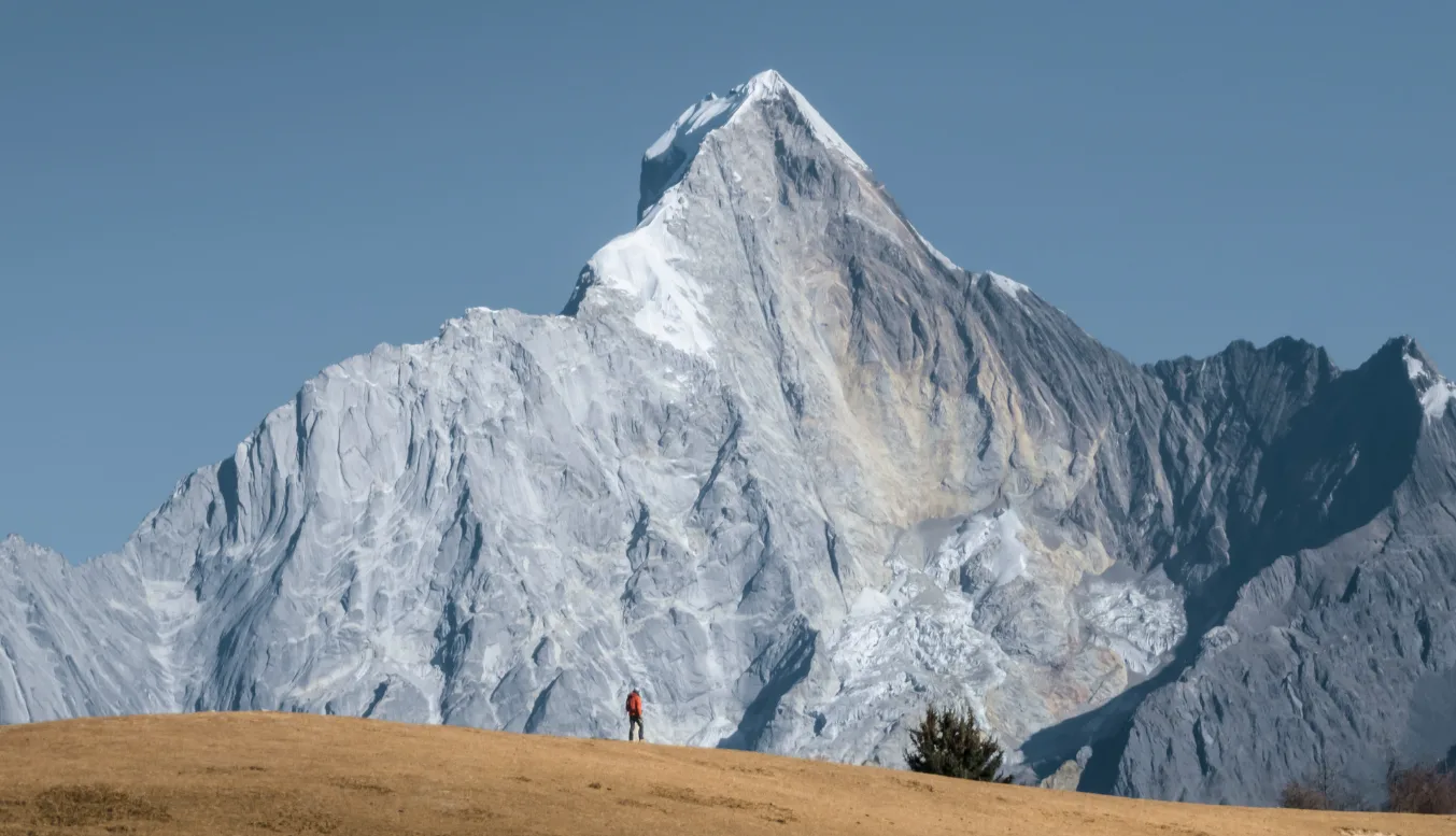
This is not a routine commercial summit trip. Very few people attempt it, and even fewer s쳮d because of the route’s extreme technical difficulty. Climbing opportunities are limited, routes are complex, and success depends heavily on the team’s experience and suitable weather conditions. Yaomei Peak should be approached as a standalone professional mountaineering expedition, not an optional add-on to a regular visit to Siguniang Mountain.
For any of the four peaks, confirm the latest requirements for outdoor registration, qualified guides, insurance and equipment before departure.
Altitude Sickness and Acclimatisation
Key elevations around Siguniang Mountain:
Siguniangshan Town (Rilong): around 3,200 m
Shuangqiao Valley: around 3,500 m
Changping Valley: around 3,600 m
Upper Haizi Valley: above 4,200 m
Changping–Bipenggou traverse (highest pass): around 4,641 m
Dafeng: 5,025 m
Erfeng: 5,276 m
Sanfeng: 5,355 m
Yaomei Peak: around 6,250 m
Mild altitude symptoms, including headache, breathlessness and disturbed sleep, are common after arriving in Siguniangshan Town. Take the first day to acclimatise, avoid strenuous exercise and alcohol, and, if possible, postpone showering and washing your hair. Most visitors can explore Shuangqiao Valley at a relaxed pace, but longer hikes in Changping Valley, deeper routes in Haizi Valley, the Changping–Bipenggou traverse and mountaineering place progressively greater demands on the body.
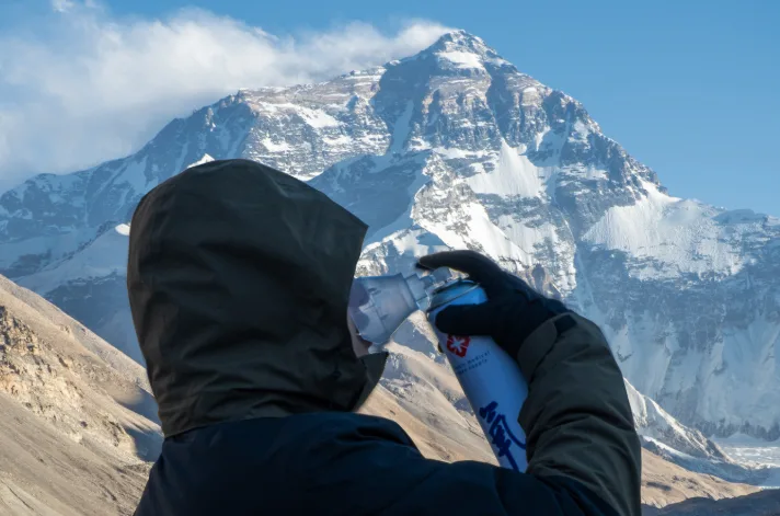
When planning trips, Eastogo allows time for acclimatisation and takes changes in elevation into account. Portable oxygen and commonly used altitude-related medication are also carried in our vehicles, and accommodation is selected with access to medical care in mind. Severe headache, vomiting or confusion are warning signs: stop the activity and descend to a lower altitude as soon as possible, seeking urgent medical attention.
Where to Stay in Siguniang Mountain
Most accommodation is concentrated in Siguniangshan Town (Rilong), with additional options near the entrances to Changping Valley and Shuangqiao valleys.
For visits to Changping and Haizi valleys, staying in the town centre or near Changping Valley is convenient. If Shuangqiao Valley is the priority for the following morning, accommodation near its entrance is a better choice, particularly during the summer holidays and National Day period, when traffic can delay entry.
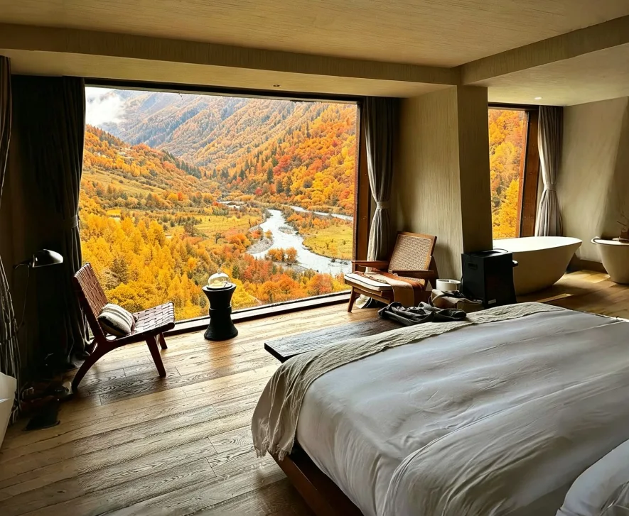
Accommodation ranges from simple guesthouses and homestays at around RMB 200–400 per night to comfortable mid-range hotels and boutique stays at around RMB 400–700. Higher-end hotels with mountain views, oxygen facilities or more distinctive design can cost RMB 800–1,500 or more. Prices rise considerably in July and August, during the National Day holiday and throughout the autumn peak season. Rooms with sought-after mountain views are particularly likely to sell out in advance.
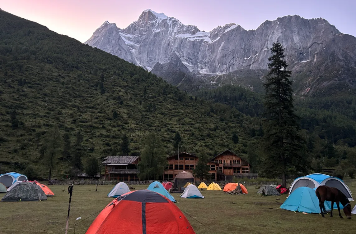
For the Changping–Bipenggou traverse and mountaineering trips, accommodation requires a different approach. Once the route enters the deeper sections of Changping Valley or Haizi Valley, overnight stays involve camping. Tents, sleeping bags, meals, cooking equipment and transport should generally be arranged in advance through a professional outdoor team.
Siguniang Mountain vs Nearby Destinations
Siguniang Mountain vs Daocheng Yading
Daocheng Yading is best known for its three sacred peaks — Chenresig, Jampelyang and Chanadorje — along with alpine lakes such as Milk Lake and Five-Colour Lake. Most visits follow established routes and boardwalks within the scenic area, and reaching Yading from Chengdu involves a considerably longer journey.
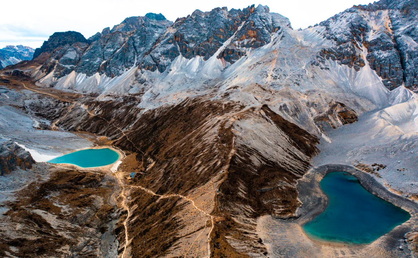
Siguniang Mountain is much closer to Chengdu and offers a wider range of outdoor experiences, from easy sightseeing to technical mountaineering. For travellers making their first foray into high-altitude hiking in western Sichuan, Siguniang is generally easier to plan around different fitness levels and experience.
Siguniang Mountain vs Mount Gongga
At 7,556 metres, Mount Gongga is the highest peak in Sichuan. Rather than a single, centrally managed scenic area, the surrounding region is a vast mountain landscape of snow peaks, villages, mountain passes and trekking routes. Places such as Lenggacuo Lake, Zimei Pass and Gongga Monastery are spread across the region, often requiring long drives into remote villages, local transfers, hiking and overnight stays in mountain communities. Planning routes and adapting to changing weather also require more preparation.
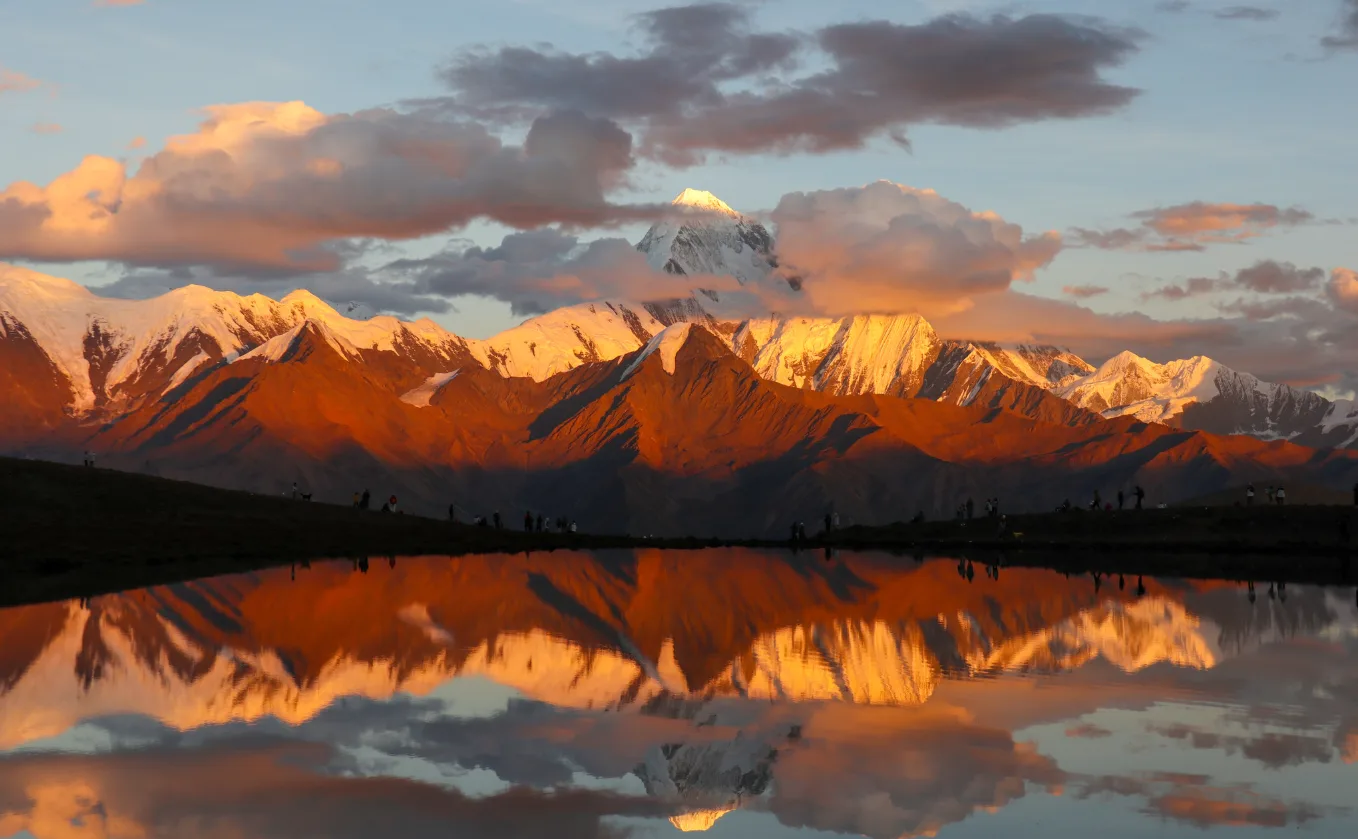
Siguniang Mountain, by contrast, is centred around Siguniangshan Town, with the entrances to its three main valleys close together and a more developed range of sightseeing transport, accommodation, restaurants and outdoor services. It is relatively easy to progress from sightseeing to hiking or mountaineering according to individual ability. For a first experience of western Sichuan’s snow mountains and high-altitude outdoors, Siguniang is the more accessible choice. Gongga is particularly appealing to those with previous high-altitude experience who want to explore a broader, more dispersed mountain wilderness.
Siguniang Mountain vs Bipenggou
Bipenggou is particularly rewarding in autumn. From late September through October, its forests turn shades of gold, orange and deep red, creating classic western Sichuan scenery alongside alpine lakes and snow peaks. The visit is generally straightforward, with sightseeing transport and established walking routes similar to the experience at Daocheng Yading.
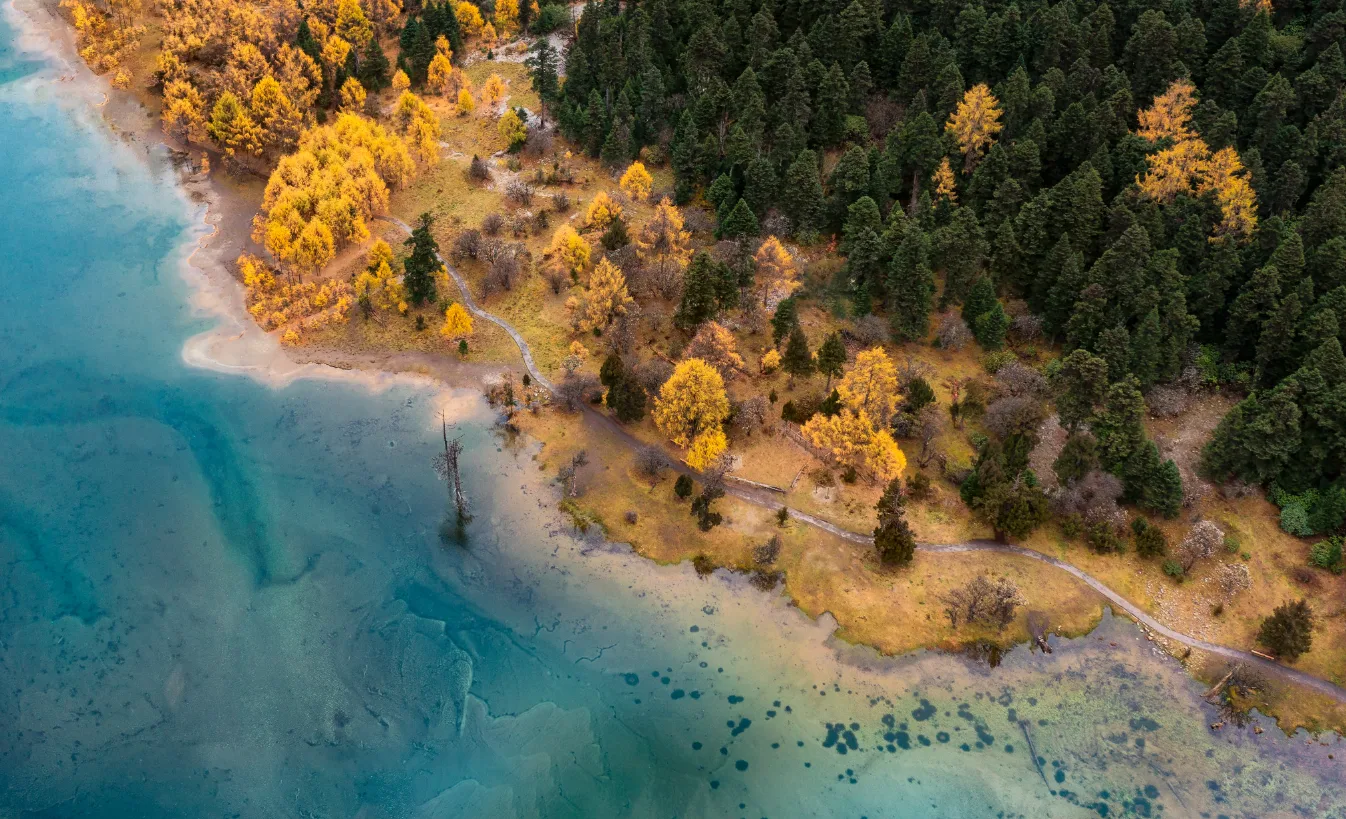
The two destinations can also be connected by one of western Sichuan’s classic trekking routes: the Changping–Bipenggou traverse crosses a high mountain pass from Changping Valley at Siguniang Mountain before descending into Bipenggou. For serious hiking enthusiasts, the two are not simply alternative destinations, but parts of a single mountain journey.
Practical Tips for Visiting Siguniang Mountain
Tickets
Each valley requires a separate ticket.
- Shuangqiao Valley: RMB 80 (sightseeing bus: RMB 70).
- Changping Valley: RMB 70 (sightseeing bus: RMB 20).
- Haizi Valley: RMB 60.
Opening Hours
- Shuangqiao Valley: 8:00 am–3:00 pm
- Changping and Haizi valleys: 8:00 am–2:30 pm
Tickets can sell out during peak periods, so advance booking is advisable for summer holidays, weekends and China’s National Day holiday.
Getting Around and Outdoor Activities
Shuangqiao Valley relies on sightseeing buses for longer distances. In Changping Valley, shuttle buses run only as far as Lama Temple; beyond that, travel is on foot or horseback. Haizi Valley has no sightseeing buses. Distances on a map can be misleading at high altitude, where walking often takes longer than expected.
Trekking, mountain traverses, camping and climbing require real-name registration and compliance with scenic-area regulations, including arrangements with qualified professional guides. Entering restricted outdoor areas without the required registration is a genuine safety and regulatory risk, not an alternative way to explore.
Weather
Mountain weather can change quickly, and forecasts are only a guide. For snow-mountain photography, multi-day treks or summit attempts, allow extra time in case conditions disrupt your plans.
Mobile Signal
Mobile coverage is generally reliable in town and the main scenic areas, but should not be relied on in remote trekking areas. Download offline maps before setting out on longer routes, and make sure the group has agreed meeting points, retreat plans and emergency contact arrangements.
Payments and Supplies
QR-code payments are widely accepted in town, but facilities and resupply points inside the valleys are limited. Carry some cash and bring sufficient food and water for the planned route.
Travel Insurance and Local Guides
Choose travel insurance that covers high-altitude activities and mountain rescue. Travellers without previous high-altitude trekking experience should avoid remote routes with limited facilities and rescue access, particularly the deeper sections of Haizi Valley and the Changping–Bipenggou traverse. A local guide familiar with the terrain and conditions can make these routes considerably safer.
Eastogo can arrange local trekking guides familiar with Siguniang Mountain and help coordinate route planning, logistics and emergency arrangements according to each traveller’s fitness, altitude experience and itinerary. For those new to high-altitude trekking in western Sichuan, travelling with experienced local professionals offers greater support than relying on maps alone.
Speak to An Expert
Explore Siguniang Mountain with Eastogo
Start designing your China journey with our destination experts.
Make An InquiryWhat to Pack for Siguniang Mountain
Even in summer, temperatures can drop quickly at altitude, so dressing in layers is essential. The basics include:
- A warm mid-layer or lightweight down jacket
- A windproof, waterproof outer shell
- Well-broken-in hiking boots or shoes with good grip and waterproofing
- Sunglasses, sunscreen and a sun hat
- Basic first-aid supplies and personal medication
- Portable oxygen for altitude-related emergencies
- A headlamp and spare batteries
- Drinking water and high-energy snacks
- Appropriate snow and ice equipment for winter trips or longer high-altitude routes
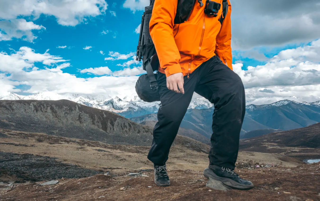
For the Changping–Bipenggou traverse or a mountaineering trip, a standard travel packing list is not enough. The expedition guide should provide a specialist equipment list based on the route, season and recent snow conditions.
Photography Guide: Best Views in Siguniang Mountain
For a panoramic view of all four main peaks, Maobiliang Viewpoint is the classic choice. Located just outside the scenic area on the road towards Chengdu, it is about a 10-minute drive from Siguniangshan Town. On a clear morning, all four snow peaks line up across the horizon, sometimes glowing gold in the first sunlight. Cloud cover can obscure the entire range, however, and the peaks appear relatively small in phone photos from this distance. A telephoto lens is a better choice for capturing their detail and scale.
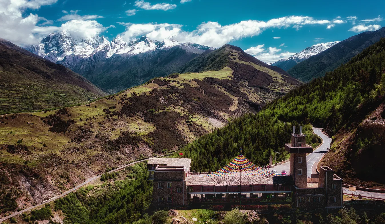
For a closer view, head to Chaoshangping or Guozhuangping in Haizi Valley. From the valley entrance, the walk takes around 1.5–2 hours, or about an hour on horseback, climbing from roughly 3,200 to 3,600 metres. The open meadows provide a striking foreground, with all four main peaks rising directly behind them. Compared with the distant panorama from Maobiliang, the mountains feel much more imposing.
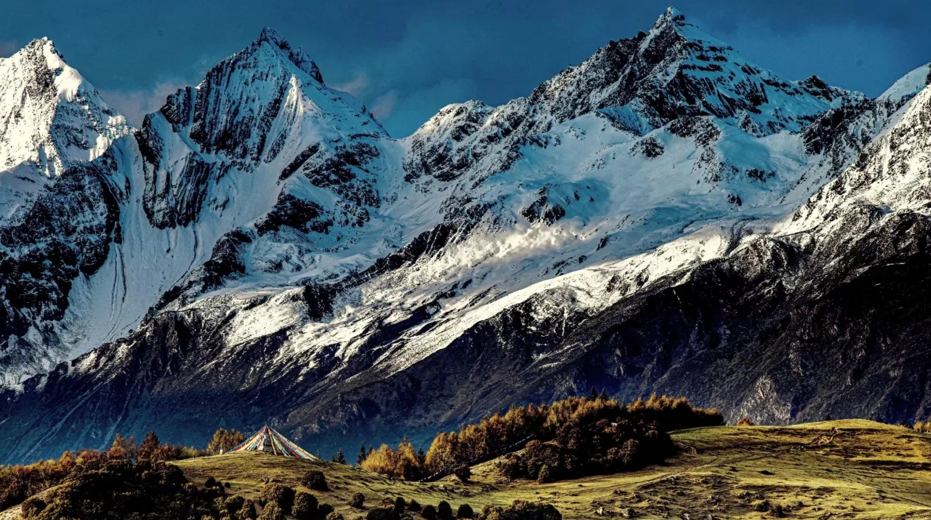
Shuangqiao Valley is particularly good for mountain details and reflections. Good locations include Longzhu Lake, Sigula Lake, Potala Peak and Red Forest. Changping Valley offers a different perspective, with forest and snow peaks framed together along the trail. Farther in, around Mule Camp, the surrounding mountains take on a much greater sense of scale.
Early morning is generally the best time for photography, as clouds tend to build through the afternoon in western Sichuan, particularly in summer. A mid-range telephoto lens helps bring distant peaks closer and compress the layers of the landscape, while a wide-angle lens works well for expansive valleys. For sunrise or blue-hour photography, a lightweight, stable tripod is also useful.
What to Eat in Siguniang Mountain
Siguniangshan Town lies in the Jiarong Tibetan region, and its food scene combines Sichuan cuisine with familiar staples from the Tibetan highlands.
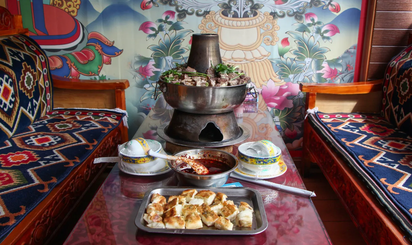
Yak hotpot is a local favourite, especially welcome after a cold day outdoors or a long hike. Other dishes and drinks worth trying include barley cakes, butter tea, Tibetan yoghurt, local mushrooms and potatoes. The town has a good range of restaurants, so there is no need to eat Tibetan food at every meal just for the sake of local flavour. Before a long trek, familiar foods that are easy to digest are often the better choice.
Responsible Travel in Siguniang Mountain
Siguniang Mountain is sacred to the local Tibetan community, so treat temples and mani stone cairns with respect. Do not climb on or step over prayer flags or mani stones. The alpine environment is fragile: stay on open trails, avoid trampling vegetation or picking wildflowers, take all rubbish with you, and camp or make fires only in designated areas. Never approach or chase wildlife for a photograph.
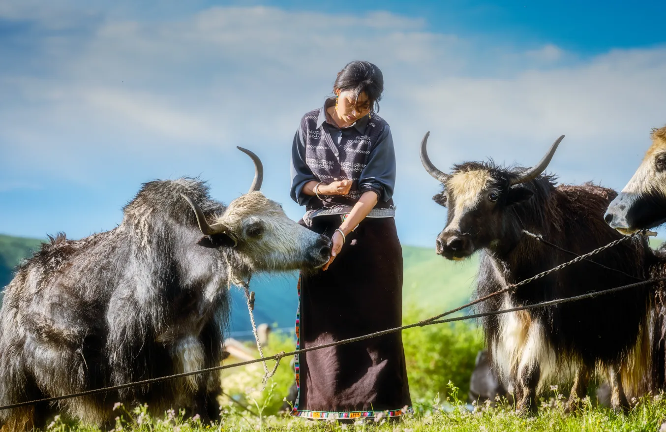
For camping and multi-day treks, follow Leave No Trace principles and carry everything brought into the mountains back out again. Where possible, using local guides, horse handlers, guesthouses and community services also helps keep more of the benefits of tourism within the local community.
Safety, Emergency Planning and Contingencies
The main risks at Siguniang Mountain come not just from the difficulty of a route, but from the combined effects of altitude, changing weather and fatigue.
For sightseers, altitude sickness, cold and sudden weather changes are the main concerns. Multi-day treks bring additional risks, including getting lost, hypothermia, rockfall and heavy snow. Mountaineering adds the hazards of snow and ice, rope work and technical terrain. For anything beyond casual sightseeing, support from an experienced local outdoor team is strongly recommended.
Mobile coverage is limited in parts of Haizi Valley and along the Changping–Bipenggou traverse. Before setting out, confirm how to contact the guide in an emergency. For camping, long-distance trekking or climbing, choose insurance that explicitly covers the planned activity and check its altitude limit. Standard travel insurance may exclude mountaineering above 5,000 metres.
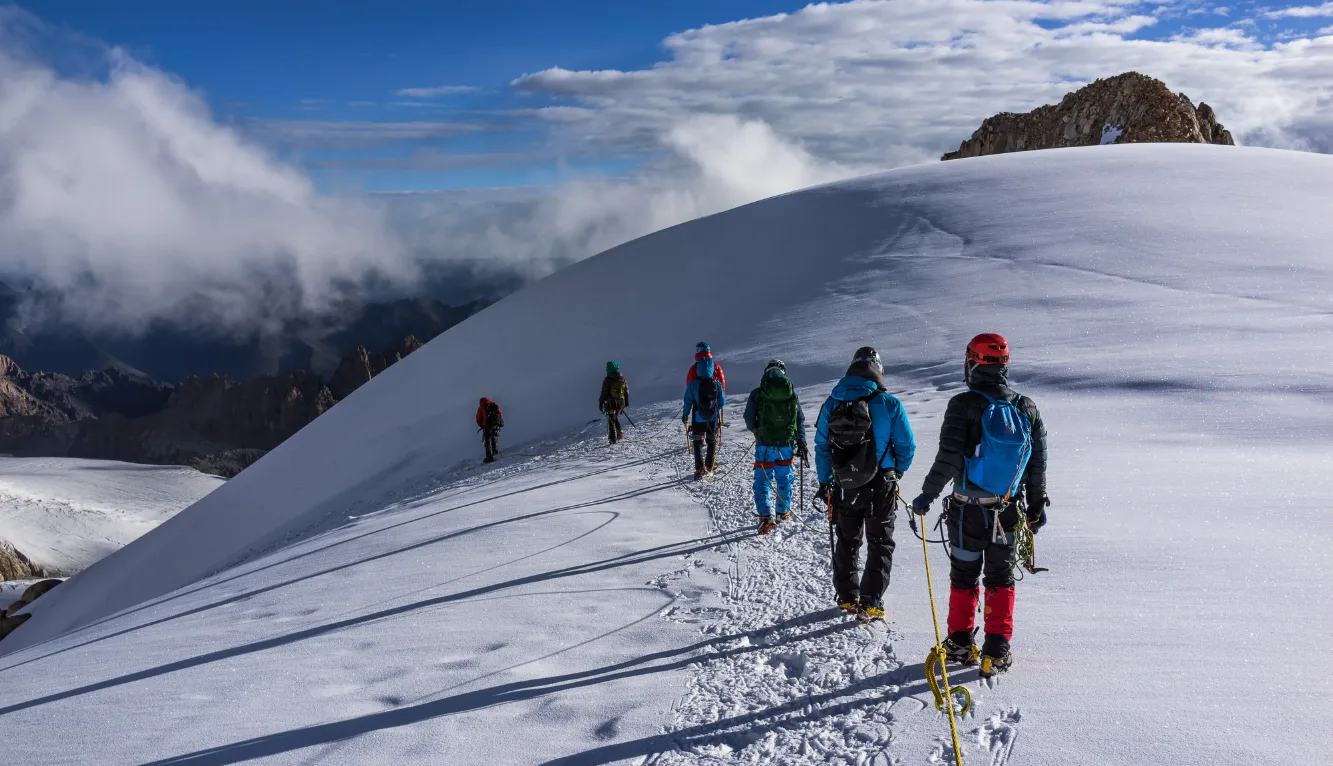
Every multi-day route should also have a clear contingency plan. What happens if deep snow makes the mountain pass impassable? When should the team turn back if the weather deteriorates? Where can someone with severe altitude sickness be evacuated, and where will the support vehicle meet the group? Planning for these situations is just as important as bringing the right equipment.
How Many Days Do You Need in Siguniang Mountain?
For sightseeing, two to three days are enough to experience the main highlights.
2 days: Day 1 – Shuangqiao Valley; Day 2 – hiking in Changping Valley.
3 days: Day 1 – Shuangqiao Valley; Day 2 – Changping Valley; Day 3 – Haizi Valley, sunrise at Maobiliang Viewpoint, or return to Chengdu.
For hiking enthusiasts, allow 3–4 days for the Changping–Bipenggou traverse. The crossing itself takes three days, but an additional day to arrive and acclimatise beforehand makes four days a more realistic plan.
For Dafeng or Erfeng, allow at least three days: arrive in Siguniangshan Town and acclimatise on day one, trek to base camp on day two, then make the summit attempt and descend on day three. Travelling from Chengdu and attempting the climb the following day leaves too little time to adjust to the altitude.
Sanfeng requires more extensive acclimatisation and technical preparation. Yaomei Peak is an entirely different undertaking and should be planned as a dedicated technical mountaineering expedition, not as part of a standard multi-day sightseeing itinerary.
Explore Siguniang Mountain with Eastogo
Siguniang Mountain brings within reach a world that might otherwise seem remote and inaccessible. Without reshaping the landscape for tourism, it brings us closer to snow peaks, forests and river valleys, moving beyond distant views to experience the mountains from within. Surrounded by such vastness, the connection between people and the natural world feels more immediate.
In these landscapes, a sense of calm and beauty that has long gone unnoticed within us can quietly return. The mountains and valleys may be left behind when the journey ends, but the feeling of having been deeply moved by nature often stays with us long afterwards.
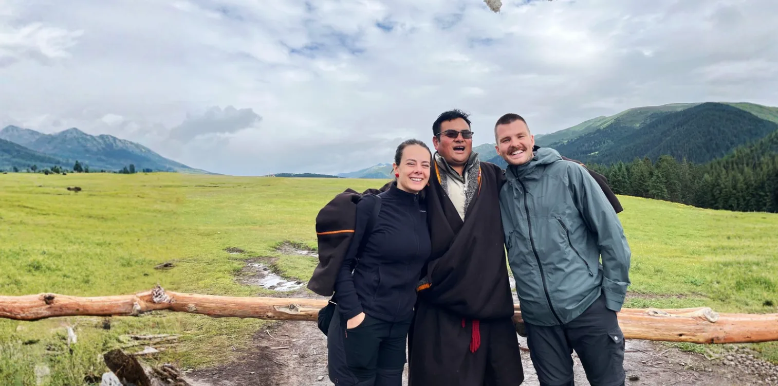
Eastogo specialises in private journeys across southwest China, including western Sichuan, Guizhou, Yunnan, Guangxi and Hunan. We help travellers discover the culture and natural landscapes beyond the main tourist routes. Through our long-standing relationships with local drivers, guides and communities, we arrange village visits, traditional cultural activities and opportunities for genuine local encounters. These experiences offer a closer look at everyday life: understanding local traditions in Tibetan villages, learning about the relationship between faith and community in monasteries, and discovering the quieter rhythms of life across the plateau.
Each itinerary is tailored to your interests, pace and available time, with careful attention to transport, weather and safety in mountain regions. Whether you prefer the flexibility of self-guided tours or the support of private & custom China tours,we help you explore the highlands in greater comfort and with confidence.
For more information, read our Complete Guide to Western Sichuan: Routes, Culture, Landscapes, Wildlife And Travel Planning. You can also take a look at our 9-day Western Sichuan itinerary for reference.
If this landscape speaks to you, we would be happy to help you create a journey that reflects your interests and the way you want to experience this remarkable region.
Speak to An Expert
Starting Your Jounrney to Siguniang Mountain
Start designing your China journey with our destination experts.
Make An Inquiry